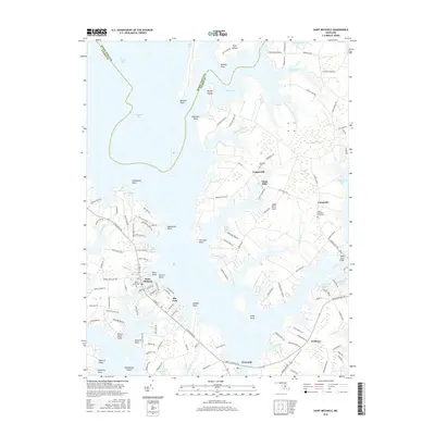
2016 Map of Saint Michaels
USGS Topo · Published 2016About this map
Saint Michaels anchors this map, situated on a peninsula between Broad Creek and the Miles River. The landscape is defined by the intricate shoreline of the Chesapeake Bay and Eastern Bay, where numerous points and coves create a complex maritime geography. Small inland settlements such as Tunis Mills, Copperville, and Unionville are connected by a network of local roads that weave through farmland and wooded areas. Historically significant sites, including Saint Lukes Cem and Saint Stephens Graveyard, offer points of interest for genealogists and local historians studying the families of Talbot County.
Find a feature on this map
139 named features on this map. Tap any name to fly to it.
Don’t see what you’re looking for? This feature index may not catch every label — zoom into the map to look around manually.
Map Details
Editions of this 2016 Saint Michaels Map
This is the sole edition of this map. No revisions or reprints were ever made.
Other maps of this area

1892 · Annapolis
USGS Topo · 1:62,500

1893 · Sharps Island
USGS Topo · 1:62,500

1898 · Choptank
USGS Topo · 1:125,000

1904 · St. Michaels
USGS Topo · 1:62,500

1904 · Annapolis
USGS Topo · 1:62,500

1904 · Sharps Island
USGS Topo · 1:62,500

1904 · Oxford
USGS Topo · 1:62,500

1908 · Choptank
USGS Topo · 1:125,000

1942 · Tilghman
USGS Topo · 1:31,680

1942 · Oxford
USGS Topo · 1:31,680