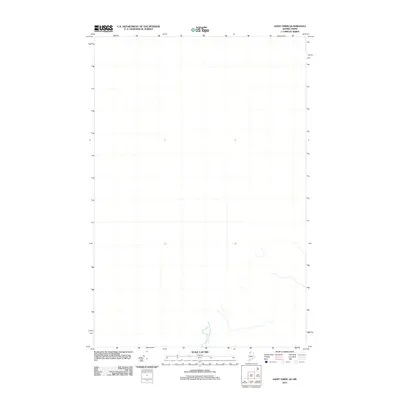
2011 Map of Saint Omer
USGS Topo · Published 2011About this map
Little St Rock River flows through the southern portion of this region along the border between Quebec and Maine. This 2011 survey focuses on the trans-border landscape near the Saint Omer quadrangle, where the terrain is defined by its watercourses rather than dense human settlement. The course of the river, mapped using data from the National Hydrography Dataset, provides a clear reference for the international boundary lines established through various historical treaties and census records.
Find a feature on this map
1 named feature on this map. Tap any name to fly to it.
Don’t see what you’re looking for? This feature index may not catch every label — zoom into the map to look around manually.
Map Details
Editions of this 2011 Saint Omer Map
This is the sole edition of this map. No revisions or reprints were ever made.
Other maps of this area

1954 · Presque Isle
USGS Topo · 1:250,000

1955 · Little East Lake
USGS Topo · 1:62,500

1955 · Depot Lake
USGS Topo · 1:62,500

1955 · Seven Islands
USGS Topo · 1:62,500

1958 · Presque Isle
USGS Topo · 1:250,000

1960 · Presque Isle
USGS Topo · 1:250,000

1962 · Edmundston
USGS Topo · 1:250,000

1976 · East Lake
USGS Topo · 1:24,000

1976 · East Lake SE
USGS Topo · 1:24,000
1976 · St. Pamphile
USGS Topo · 1:24,000