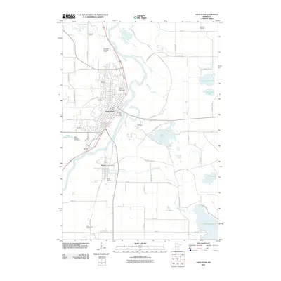
2010 Map of Saint Peter
USGS Topo · Published 2010About this map
The Minnesota River corridor anchors this 2010 study of the Nicollet County region, where the urban grid of Saint Peter meets the winding river valley. This landscape is notably defined by its numerous historic burial grounds, ranging from the Elim Welsh Cemetery in the north to the Pettis - Klaseus Family Cemetery at the southern edge. The town's civic infrastructure is well represented, including the Saint Peter Post Office, the Saint Peter Municipal Airport, and the Nicollet County Fairgrounds located just north of the city center.
Find a feature on this map
67 named features on this map. Tap any name to fly to it.
Don’t see what you’re looking for? This feature index may not catch every label — zoom into the map to look around manually.
Map Details
Editions of this 2010 Saint Peter Map
This is the sole edition of this map. No revisions or reprints were ever made.
Other maps of this area
1950 · Mankato East
USGS Topo · 1:62,500
1951 · Mankato East
USGS Topo · 1:62,500
1951 · Mankato West
USGS Topo · 1:62,500

1953 · Saint Paul
USGS Topo · 1:250,000

1953 · New Ulm
USGS Topo · 1:250,000

1957 · New Ulm
USGS Topo · 1:250,000

1958 · New Ulm
USGS Topo · 1:250,000

1959 · Saint Paul
USGS Topo · 1:250,000
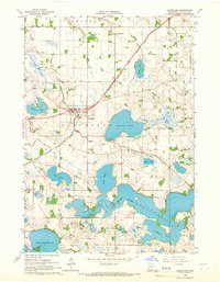
1965 · Cleveland
USGS Topo · 1:24,000
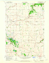
1965 · Norseland
USGS Topo · 1:24,000
Featured Places
- Saint Peter, St. Peter
- Kasota, MN
- Ottawa Township, MN
- Mar Wey Mobile Home Park, St. Peter
- Summit Mobile Home Park, St. Peter