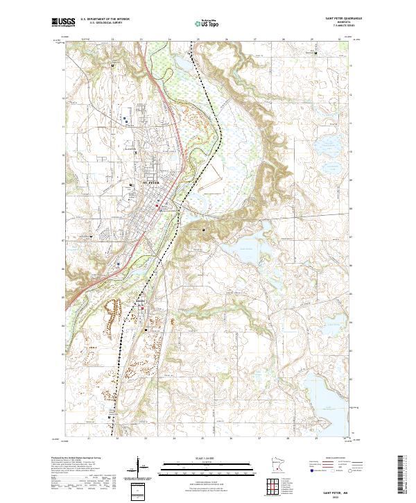
2022 Map of Saint Peter
USGS Topo · Published 2022About this map
St. Peter sits along the western bluffs of the Minnesota River, serving as a regional hub defined by its academic and civic institutions. The campus of Gustavus Adolphus College dominates the hilltop, while the Nicollet County Government Center anchors the downtown grid. South of the city, the settlement of Kasota occupies the lowlands near the riverbanks. The surrounding landscape in Le Sueur and Nicollet Counties is characterized by significant water bodies, including Lake Emily and the northern reaches of Lake Washington. Genealogists will find several burial grounds of historical interest, from the Elim Welsh Cem in the north to the Pettis Klaseus Family Cem in the south. A network of recreational paths, such as the Minnesota River Trl, follows the winding river valley through wooded terrain and wetlands.
Find a feature on this map
66 named features on this map. Tap any name to fly to it.
Don’t see what you’re looking for? This feature index may not catch every label — zoom into the map to look around manually.
Map Details
Editions of this 2022 Saint Peter Map
This is the sole edition of this map. No revisions or reprints were ever made.
Other maps of this area

1950 · Mankato East
USGS Topo · 1:62,500

1951 · Mankato East
USGS Topo · 1:62,500

1951 · Mankato West
USGS Topo · 1:62,500

1953 · Saint Paul
USGS Topo · 1:250,000

1953 · New Ulm
USGS Topo · 1:250,000

1957 · New Ulm
USGS Topo · 1:250,000

1958 · New Ulm
USGS Topo · 1:250,000

1959 · Saint Paul
USGS Topo · 1:250,000

1965 · Cleveland
USGS Topo · 1:24,000

1965 · Norseland
USGS Topo · 1:24,000
Featured Places
- Saint Peter, St. Peter
- Kasota, MN
- Ottawa Township, MN
- Mar Wey Mobile Home Park, St. Peter
- Summit Mobile Home Park, St. Peter