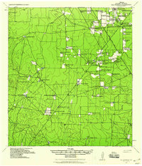
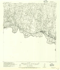
1938 Map of Sal Colorada
USGS Topo · Published 1959About this map
Family-named ranching headquarters and remote outposts define the South Texas landscape of Starr County in the late 1930s. The map captures a complex network of traditional landholdings and early energy exploration, anchored by the Sal Colorada Ranch (Hq) and nearby Sal Colorada School. The terrain is marked by a distinctive grid of unimproved roads connecting dozens of established homesteads such as Gran Jenito Ranch, La Gloria Ranch, and Santanita Ranch.
Find a feature on this map
55 named features on this map. Tap any name to fly to it.
Don’t see what you’re looking for? This feature index may not catch every label — zoom into the map to look around manually.
Map Details
Editions of this 1938 Sal Colorada Map
This is the sole edition of this map. No revisions or reprints were ever made.
Other maps of this area
1938 · El Sauz
USGS Topo · 1:62,500
1938 · Agua Nueva
USGS Topo · 1:62,500
1938 · Cuevitas
USGS Topo · 1:62,500
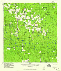
1939 · La Reforma
USGS Topo · 1:62,500
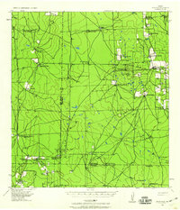
1939 · Encantada
USGS Topo · 1:62,500
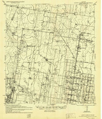
1940 · Monte Christo
USGS Topo · 1:62,500

1949 · Mc Allen
USGS Topo · 1:250,000

1954 · McAllen
USGS Topo · 1:250,000
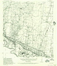
1956 · Garcias
USGS Topo · 1:62,500
1956 · Escobares
USGS Topo · 1:62,500