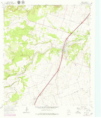
1964 Map of Salado
USGS Topo · Published 1979About this map
Salado Creek winds through the heart of the Bell County countryside, serving as the focal point for the settlement of Salado. This map, based on 1960s data with later revisions, shows the community at a time of transition, characterized by the emerging reservoir at Stillhouse Hollow Lake and its nearby Spillway. The landscape is defined by its drainage network, including Willingham Branch, Mustang Creek, and Buttermilk Creek, which create a series of ridges and valleys across the quadrangle. Local genealogy and community history are anchored by landmarks such as the Willingham Springs Ch and the Salado Cem. Farther south, the hamlet of Prairie Dell sits along the primary highway corridor, marked by a local BM 760 survey point and a Gravel Pit. The map also notes a Landing Strip and a Substation, reflecting the mid-century infrastructure supporting this central Texas region.
Find a feature on this map
23 named features on this map. Tap any name to fly to it.
Don’t see what you’re looking for? This feature index may not catch every label — zoom into the map to look around manually.
Map Details
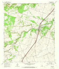
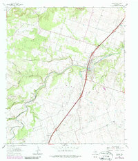
Editions of this 1964 Salado Map
3 editions found
Other maps of this area

1885 · Taylor
USGS Topo · 1:125,000

1887 · Taylor
USGS Topo · 1:125,000

1892 · Temple
USGS Topo · 1:125,000

1893 · Georgetown
USGS Topo · 1:125,000

1894 · Gatesville
USGS Topo · 1:125,000

1894 · Taylor
USGS Topo · 1:125,000

1924 · Gatesville 4-d
USGS Topo · 1:48,000

1924 · Temple 3-C
USGS Topo · 1:48,000

1930 · Killeen
USGS Topo · 1:62,500

1931 · Belton
USGS Topo · 1:62,500