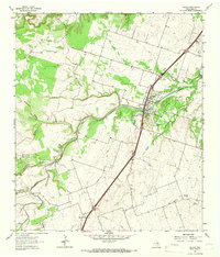
1964 Map of Salado
USGS Topo · Published 1966About this map
Salado Creek cuts a prominent diagonal across this landscape, defining the character of the village of Salado in the mid-1960s. The settlement pattern reflects a reliance on these perennial water sources, with the Salado Cemetery and a local High School serving the community near the creek's banks. Further south, the rural settlement of Prairie Dell sits near the headwaters of Middle Darrs Creek, illustrating the dispersed agricultural life of central Texas.
Find a feature on this map
16 named features on this map. Tap any name to fly to it.
Don’t see what you’re looking for? This feature index may not catch every label — zoom into the map to look around manually.
Map Details
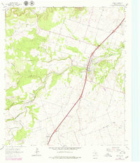
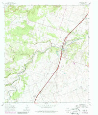
Editions of this 1964 Salado Map
3 editions found
Other maps of this area

1885 · Taylor
USGS Topo · 1:125,000

1887 · Taylor
USGS Topo · 1:125,000

1892 · Temple
USGS Topo · 1:125,000

1893 · Georgetown
USGS Topo · 1:125,000

1894 · Gatesville
USGS Topo · 1:125,000

1894 · Taylor
USGS Topo · 1:125,000

1924 · Gatesville 4-d
USGS Topo · 1:48,000

1924 · Temple 3-C
USGS Topo · 1:48,000

1930 · Killeen
USGS Topo · 1:62,500

1931 · Belton
USGS Topo · 1:62,500