Loading...
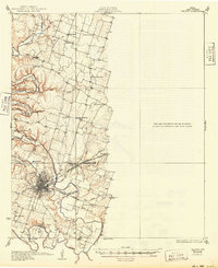
Loading map...1931 Map of Belton
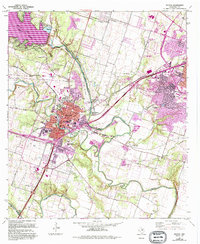
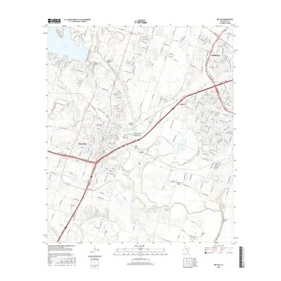
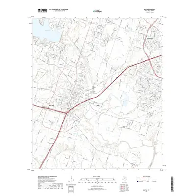
USGS Topo · Published 1949About this map
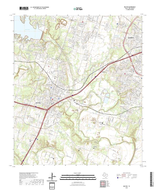
The Leon River and Lampasas River converge south of Belton, a landscape defined by its deep agricultural roots and a sophisticated early 20th-century transportation network. This era shows the Gulf Colorado and Santa Fe and Missouri Kansas and Texas railroads intersecting the county seat, while the Belton and Temple Electric R R provides a distinct interurban link toward Temple.
Find a feature on this map
36 named features on this map. Tap any name to fly to it.
Don’t see what you’re looking for? This feature index may not catch every label — zoom into the map to look around manually.
Map Details
Date Portrayed1931
Date Published1949
PublisherU.S. Geological Survey
Map TypeTopographic
Scale1:62,500
Physical Dimensions17 x 20.9 inches
Editions of this 1931 Belton Map
This is the sole edition of this map. No revisions or reprints were ever made.
Historical Maps of Temple Through Time
7 maps found
Featured Locations
Source Details
SourceU.S. Geological Survey
CopyrightPublic Domain