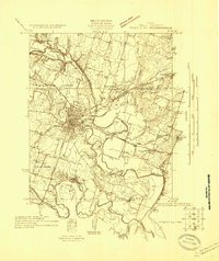
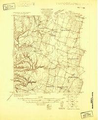
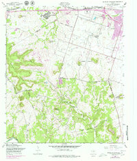
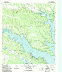
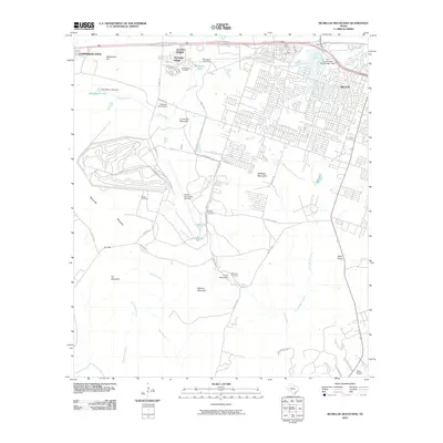
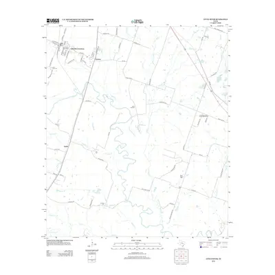
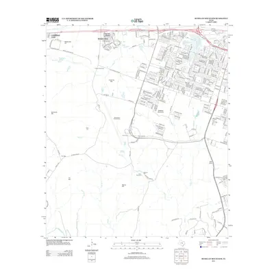
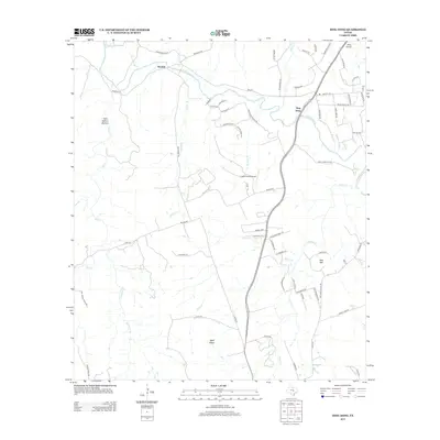
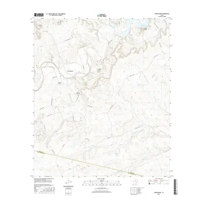
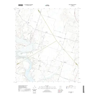
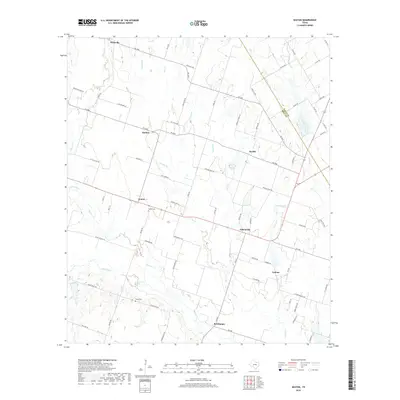
1924 Map of Temple 3-C
USGS Topo · Published 1924About this map
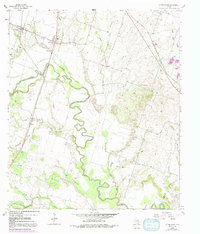
The confluence of the Leon River, Lampasas River, and Salado Creek defines the landscape surrounding Belton during this 1920s survey. This period of Bell County history shows a transition from rural river valleys to a burgeoning transportation hub, where the Meridian Highway and Texas Belton and Georgetown Road intersect with vital rail corridors like the Missouri Kansas and Texas. Outside the primary settlements of Belton and Hyde, the map documents a network of community anchors including the Three Forks School, Tennessee Valley Church, and the State Agricultural Experiment Station. The topography reveals the dramatic relief of Dog Ridge overlooking Nolan Creek, illustrating how early agricultural patterns followed the fertile contours of Taylor Valley and Tennessee Valley before modern regional development altered the local hydrology.
Find a feature on this map
27 named features on this map. Tap any name to fly to it.
Don’t see what you’re looking for? This feature index may not catch every label — zoom into the map to look around manually.
Map Details
Editions of this 1924 Temple 3-C Map
This is the sole edition of this map. No revisions or reprints were ever made.
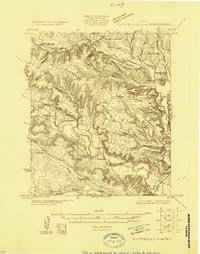
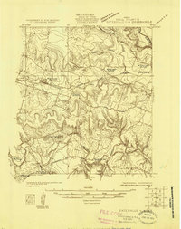
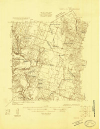
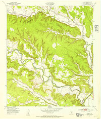
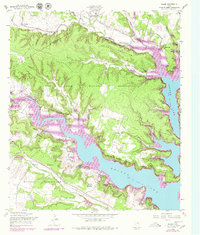
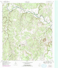
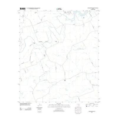
Historical Maps of Temple Through Time
63 maps found
1924 Gatesville 4-a
Bell County, TX
1924 Gatesville 4-d
Bell County, TX
1924 Temple 2-C
Bell County, TX
1924 Temple 3-B
Bell County, TX
1924 Temple 3-C
Bell County, TX
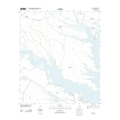
1947 Bland
Bell County, TX

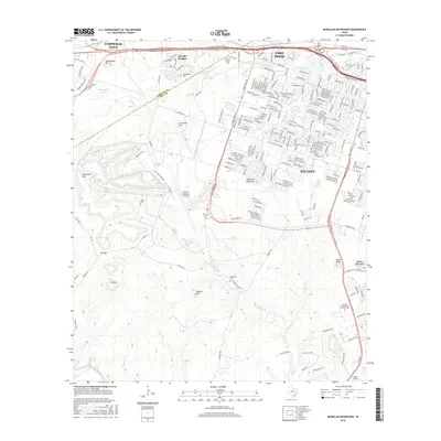
1947 McMillan Mountains
Bell County, TX
1958 Bland
Bell County, TX
1958 Ding Dong
Bell County, TX
1958 McMillan Mountains
Bell County, TX
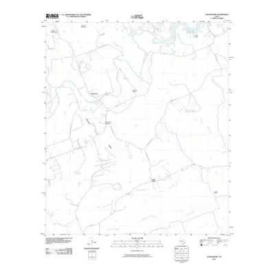
1958 Youngsport
Bell County, TX
1963 Davilla
Bell County, TX
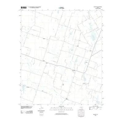
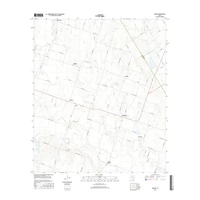
1963 Seaton
Bell County, TX
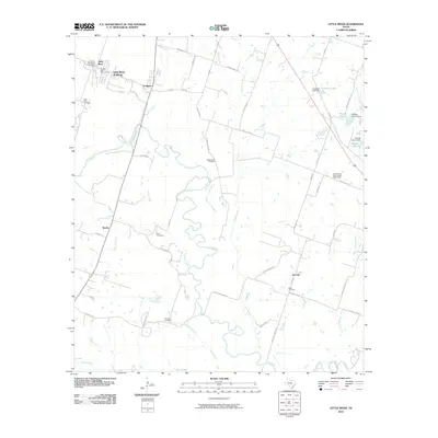
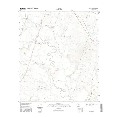
1964 Little River
Bell County, TX
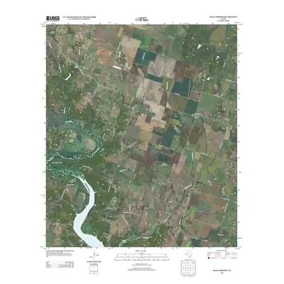
1965 Eagle Springs
Bell County, TX
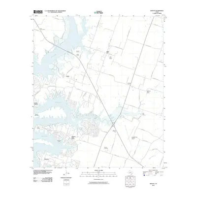
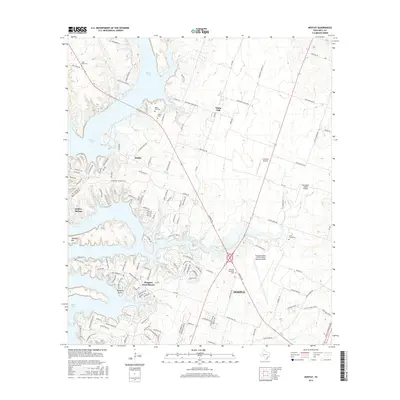
1965 Moffat
Bell County, TX
1994 McMillan Mountains
Bell County, TX
1995 Bland
Bell County, TX
2010 Bland
Bell County, TX
2010 Davilla
Bell County, TX
2010 Ding Dong
Bell County, TX

2010 Eagle Springs
Bell County, TX
2010 Little River
Bell County, TX
2010 McMillan Mountains
Bell County, TX
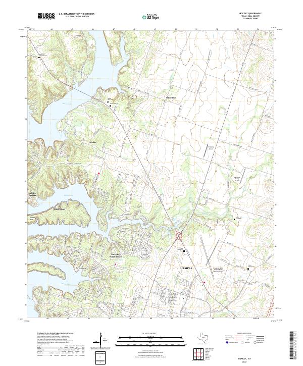
2010 Moffat
Bell County, TX
2010 Seaton
Bell County, TX
2010 Youngsport
Bell County, TX
2012 Bland
Bell County, TX
2012 Eagle Springs
Bell County, TX
2012 Little River
Bell County, TX
2012 McMillan Mountains
Bell County, TX
2012 Moffat
Bell County, TX
2012 Seaton
Bell County, TX
2013 Davilla
Bell County, TX
2013 Ding Dong
Bell County, TX
2013 Youngsport
Bell County, TX
2016 Bland
Bell County, TX

2016 Davilla
Bell County, TX

2016 Ding Dong
Bell County, TX
2016 Eagle Springs
Bell County, TX
2016 Little River
Bell County, TX
2016 McMillan Mountains
Bell County, TX
2016 Moffat
Bell County, TX
2016 Seaton
Bell County, TX
2016 Youngsport
Bell County, TX
2019 Bland
Bell County, TX
2019 Davilla
Bell County, TX
2019 Ding Dong
Bell County, TX
2019 Eagle Springs
Bell County, TX
2019 Little River
Bell County, TX
2019 McMillan Mountains
Bell County, TX
2019 Moffat
Bell County, TX
2019 Seaton
Bell County, TX
2019 Youngsport
Bell County, TX
2022 Bland
Bell County, TX
2022 Davilla
Bell County, TX
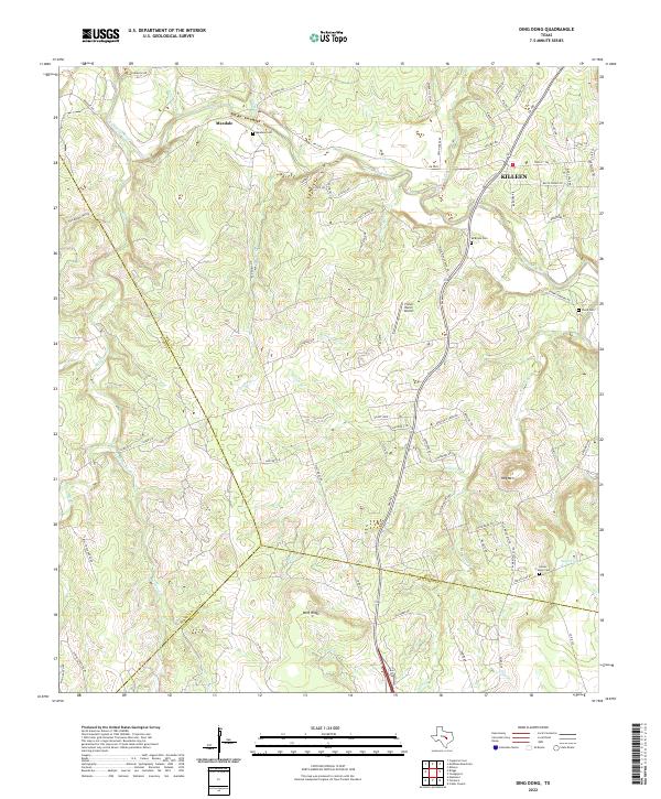
2022 Ding Dong
Bell County, TX
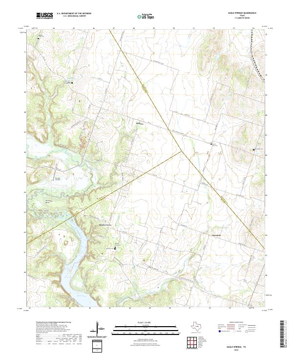
2022 Eagle Springs
Bell County, TX
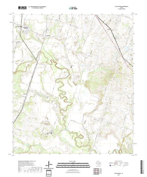
2022 Little River
Bell County, TX
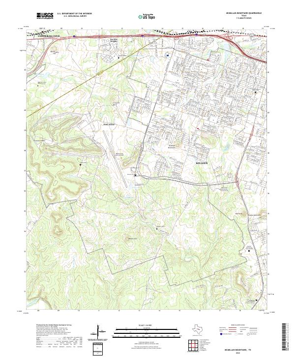
2022 McMillan Mountains
Bell County, TX
2022 Moffat
Bell County, TX
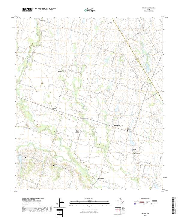
2022 Seaton
Bell County, TX
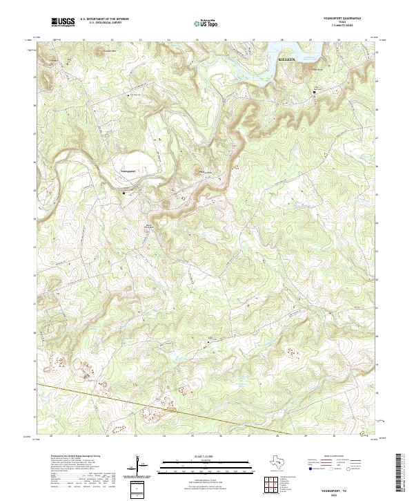
2022 Youngsport
Bell County, TX