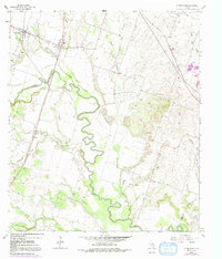
1964 Map of Little River
USGS Topo · Published 1991About this map
Meandering through central Bell County, the Little River carves a complex path across a landscape defined by small agrarian settlements and early industrial activity. The map captures the communities of Academy and Little River during a period of transition, where traditional landmarks like the Joe Lee Sch and High Sch anchor the rural population. Notable for local history, the sheet identifies several family and community burial grounds, including Reeds Lake Cem and Sunshine Cem, providing critical data for genealogical research.
Find a feature on this map
31 named features on this map. Tap any name to fly to it.
Don’t see what you’re looking for? This feature index may not catch every label — zoom into the map to look around manually.
Map Details
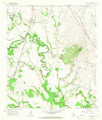
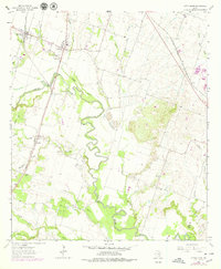
Editions of this 1964 Little River Map
3 editions found
Other maps of this area

1885 · Taylor
USGS Topo · 1:125,000

1887 · Taylor
USGS Topo · 1:125,000

1892 · Temple
USGS Topo · 1:125,000

1894 · Taylor
USGS Topo · 1:125,000

1910 · Buckholts
USGS Topo · 1:24,000

1912 · Buckholts
USGS Topo · 1:31,680

1924 · Temple 3-C
USGS Topo · 1:48,000

1931 · Belton
USGS Topo · 1:62,500

1954 · Waco
USGS Topo · 1:250,000

1954 · Austin
USGS Topo · 1:250,000
Featured Places
- Little River-Academy, TX
- Joe Lee, TX
- Little River, Little River-Academy
- Sparks, TX
- Academy, Little River-Academy