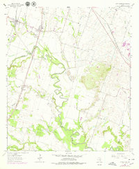
1964 Map of Little River
USGS Topo · Published 1979About this map
The Little River carves a sinuous path through the central Texas landscape, where the confluence of several tributaries like Boggy Creek and Knob Creek shaped early Bell County settlement patterns. In the mid-1960s, the rural character of the region was defined by a series of small communities and family landmarks, including Academy, Sparks, and Runnells. Transportation history is clearly legible here, with the Missouri Kansas Texas and Atchison Topeka and Santa Fe railroads traversing the plains, and the presence of the Temple Drag Strip highlighting a mid-century shift toward automotive recreation. Local history researchers will find a high density of rural burial grounds, such as Little River Cem, Reeds Lake Cem, and Vails Cem, which provide essential grounding for genealogical study. The map also records the heavy industry of the era through numerous Gravel Pits concentrated near the river banks.
Find a feature on this map
33 named features on this map. Tap any name to fly to it.
Don’t see what you’re looking for? This feature index may not catch every label — zoom into the map to look around manually.
Map Details
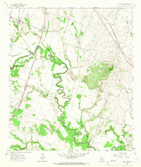
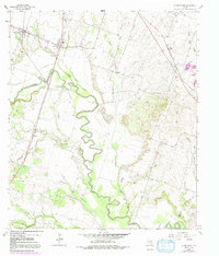
Editions of this 1964 Little River Map
3 editions found
Other maps of this area

1885 · Taylor
USGS Topo · 1:125,000

1887 · Taylor
USGS Topo · 1:125,000

1892 · Temple
USGS Topo · 1:125,000

1894 · Taylor
USGS Topo · 1:125,000

1910 · Buckholts
USGS Topo · 1:24,000

1912 · Buckholts
USGS Topo · 1:31,680

1924 · Temple 3-C
USGS Topo · 1:48,000

1931 · Belton
USGS Topo · 1:62,500

1954 · Waco
USGS Topo · 1:250,000

1954 · Austin
USGS Topo · 1:250,000
Featured Places
- Little River-Academy, TX
- Joe Lee, TX
- Little River, Little River-Academy
- Sparks, TX
- Academy, Little River-Academy