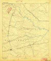
1910 Map of Buckholts
USGS Topo · Published 1911About this map
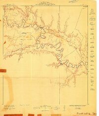
The winding Little River carves a deep, serpentine path through Milam County in this hydraulic study focused on flood protection and levee planning. Surveyed by Arthur A. Stiles, the landscape is defined by the river’s oxbows and the low-lying basins of Mumford Lake and the Slough. This early 20th-century view captures the transition of the Brazos River Valley into a managed agricultural corridor, indicated by the preliminary levee divisions labeled B-1 through B-6. Settlement is scattered among family-held lands such as Elmore Farm and the colorfully named Stink Hill Farm, centered around the Live Oak School. Essential river crossings, including the Wire Bridge, Bryant Station Bridge, and Cummins Bridge, highlight the vital importance of maintaining overland connections across this complex drainage network of Donahoe Creek and Corinth Creek.
Find a feature on this map
23 named features on this map. Tap any name to fly to it.
Don’t see what you’re looking for? This feature index may not catch every label — zoom into the map to look around manually.
Map Details
Editions of this 1910 Buckholts Map
This is the sole edition of this map. No revisions or reprints were ever made.
Other maps of this area

1885 · Taylor
USGS Topo · 1:125,000

1887 · Taylor
USGS Topo · 1:125,000
1894 · Taylor
USGS Topo · 1:125,000
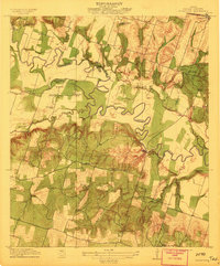
1912 · Buckholts
USGS Topo · 1:31,680

1954 · Austin
USGS Topo · 1:250,000
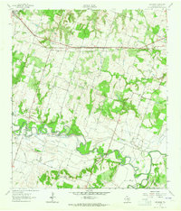
1962 · Rockdale West
USGS Topo · 1:24,000
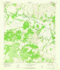
1962 · Pettibone
USGS Topo · 1:24,000
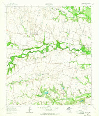
1963 · Sharp
USGS Topo · 1:24,000
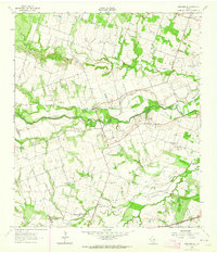
1963 · Friendship
USGS Topo · 1:24,000
1963 · San Gabriel
USGS Topo · 1:24,000