
1912 Map of Buckholts
USGS Topo · Published 1912About this map
Little River meanders across this Central Texas landscape, its intricate oxbows and floodplain defining the topography just south of the G. C. & S. F. Ry. line. In the early twentieth century, this portion of Milam County was a patchwork of small farms and tenant holdings, anchored by the town of Buckholts and the small settlement of Lilac. The infrastructure of the day relied heavily on river crossings, documented here by the Wire Bridge and Bryant Station Bridge.
Find a feature on this map
28 named features on this map. Tap any name to fly to it.
Don’t see what you’re looking for? This feature index may not catch every label — zoom into the map to look around manually.
Map Details
Editions of this 1912 Buckholts Map
This is the sole edition of this map. No revisions or reprints were ever made.
Other maps of this area

1885 · Taylor
USGS Topo · 1:125,000

1887 · Taylor
USGS Topo · 1:125,000

1894 · Taylor
USGS Topo · 1:125,000

1910 · Buckholts
USGS Topo · 1:24,000

1954 · Austin
USGS Topo · 1:250,000

1962 · Rockdale West
USGS Topo · 1:24,000
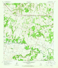
1962 · Pettibone
USGS Topo · 1:24,000
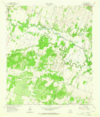
1963 · Sharp
USGS Topo · 1:24,000

1963 · Friendship
USGS Topo · 1:24,000
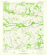
1963 · San Gabriel
USGS Topo · 1:24,000