
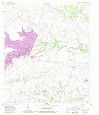
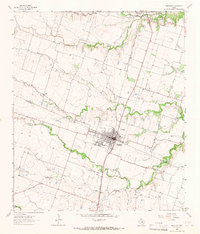
1963 Map of Friendship
USGS Topo · Published 1964About this map
The San Gabriel River meanders across this Williamson County landscape, defining a rural corridor marked by several small agricultural settlements in the early 1960s. The community of Friendship sits north of the river, while places like Laneport, Hare, and Sandoval anchor the southern plains. These townships are connected by a network of unimproved roads and light-duty routes, revealing a mid-century Texas interior where local life revolved around family-named landmarks and country churches.
Find a feature on this map
28 named features on this map. Tap any name to fly to it.
Don’t see what you’re looking for? This feature index may not catch every label — zoom into the map to look around manually.
Map Details
Editions of this 1963 Friendship Map
2 editions found
Other maps of this area

1885 · Taylor
USGS Topo · 1:125,000

1887 · Taylor
USGS Topo · 1:125,000

1894 · Taylor
USGS Topo · 1:125,000

1910 · Buckholts
USGS Topo · 1:24,000

1912 · Buckholts
USGS Topo · 1:31,680

1954 · Austin
USGS Topo · 1:250,000
1963 · Sharp
USGS Topo · 1:24,000
1963 · San Gabriel
USGS Topo · 1:24,000
1963 · Davilla
USGS Topo · 1:24,000
1964 · Bartlett
USGS Topo · 1:24,000