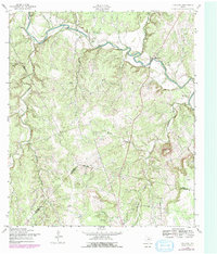
1958 Map of Ding Dong
USGS Topo · Published 1979About this map
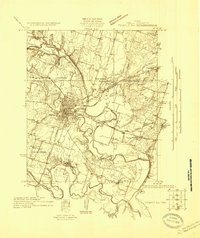
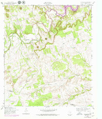
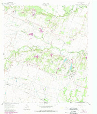
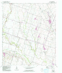
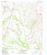
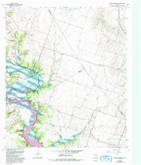
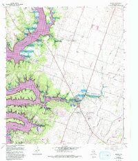
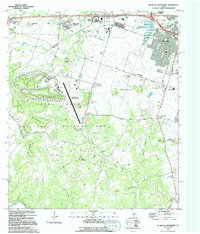
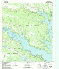
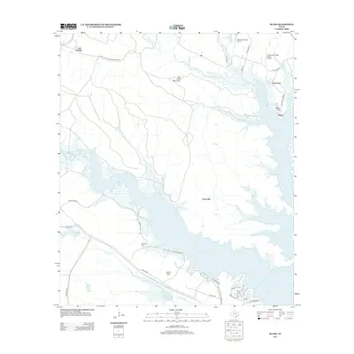
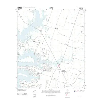
The Lampasas River meanders across this Central Texas landscape, defining the topography where the corners of Bell, Burnet, and Williamson Counties converge. Small agricultural settlements like Maxdale and the colorfully named Ding Dong anchor the rural community, supported by local gathering places such as the Maxdale Community Center and Rock Creek Ch. The terrain transitions from the river valley to prominent heights like Hog Mountain and the elongated Wolf Ridge, with numerous drainages including Simmons Creek and Rocky Creek carving into the limestone plateaus.
Find a feature on this map
22 named features on this map. Tap any name to fly to it.
Don’t see what you’re looking for? This feature index may not catch every label — zoom into the map to look around manually.
Map Details
Editions of this 1958 Ding Dong Map
4 editions found
Historical Maps of Maxdale Through Time
63 maps found
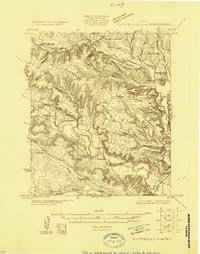
1924 Gatesville 4-a
Bell County, TX
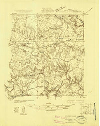
1924 Gatesville 4-d
Bell County, TX
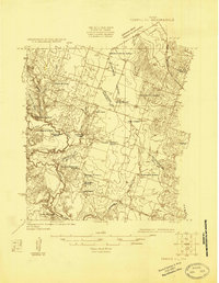
1924 Temple 2-C
Bell County, TX
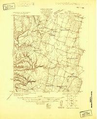
1924 Temple 3-B
Bell County, TX
1924 Temple 3-C
Bell County, TX
1947 Bland
Bell County, TX

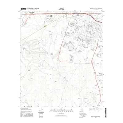
1947 McMillan Mountains
Bell County, TX
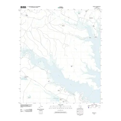
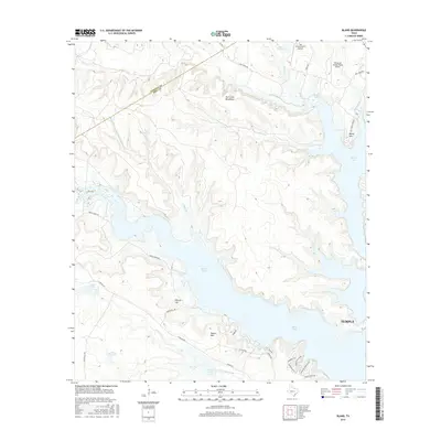
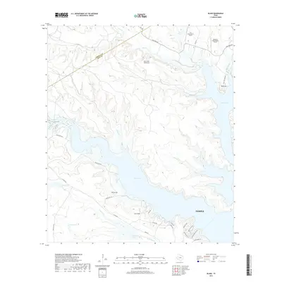
1958 Bland
Bell County, TX
1958 Ding Dong
Bell County, TX
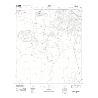
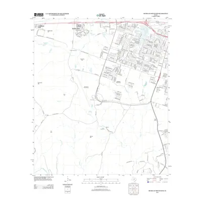
1958 McMillan Mountains
Bell County, TX
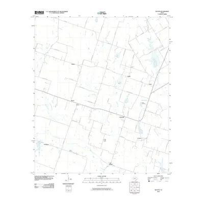
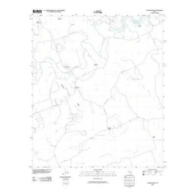
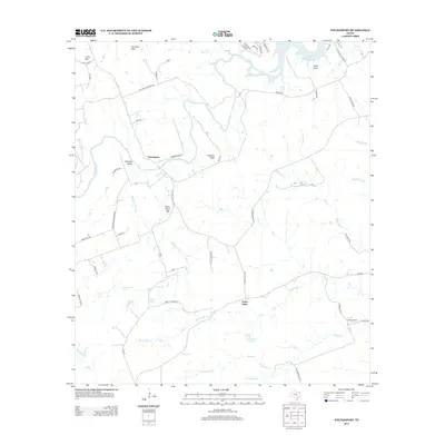
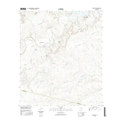
1958 Youngsport
Bell County, TX
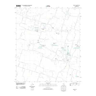
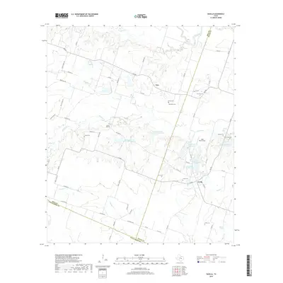
1963 Davilla
Bell County, TX
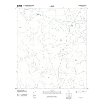
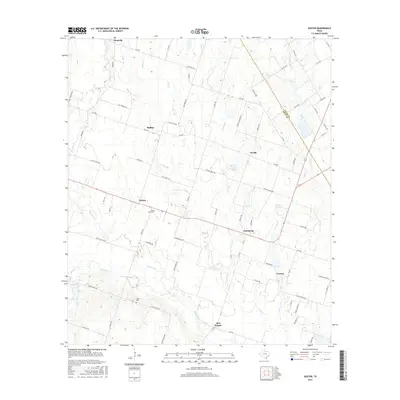
1963 Seaton
Bell County, TX
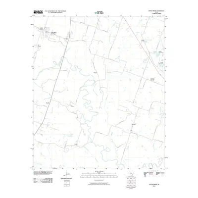
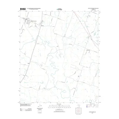
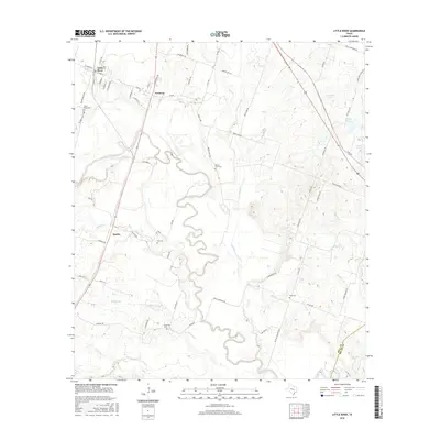
1964 Little River
Bell County, TX
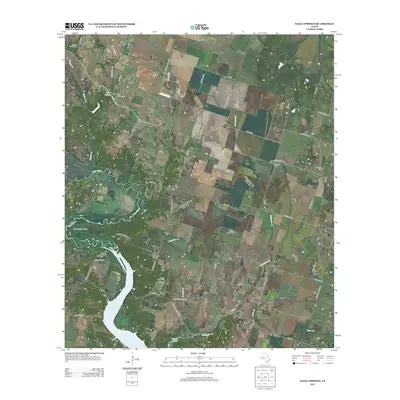
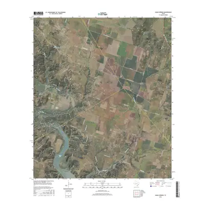
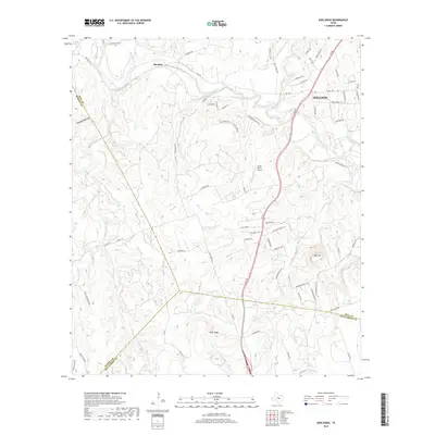
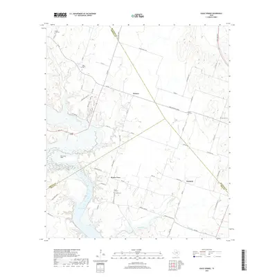
1965 Eagle Springs
Bell County, TX
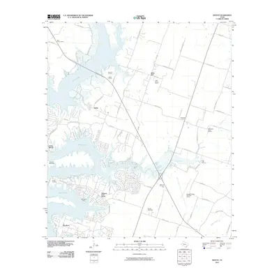
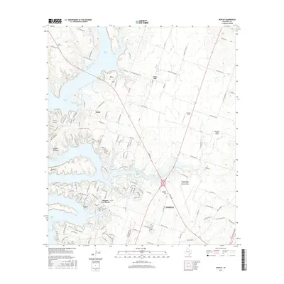
1965 Moffat
Bell County, TX
1994 McMillan Mountains
Bell County, TX
1995 Bland
Bell County, TX
2010 Bland
Bell County, TX
2010 Davilla
Bell County, TX
2010 Ding Dong
Bell County, TX

2010 Eagle Springs
Bell County, TX
2010 Little River
Bell County, TX
2010 McMillan Mountains
Bell County, TX
2010 Moffat
Bell County, TX
2010 Seaton
Bell County, TX
2010 Youngsport
Bell County, TX
2012 Bland
Bell County, TX
2012 Eagle Springs
Bell County, TX
2012 Little River
Bell County, TX
2012 McMillan Mountains
Bell County, TX
2012 Moffat
Bell County, TX
2012 Seaton
Bell County, TX
2013 Davilla
Bell County, TX
2013 Ding Dong
Bell County, TX
2013 Youngsport
Bell County, TX
2016 Bland
Bell County, TX

2016 Davilla
Bell County, TX

2016 Ding Dong
Bell County, TX
2016 Eagle Springs
Bell County, TX
2016 Little River
Bell County, TX
2016 McMillan Mountains
Bell County, TX
2016 Moffat
Bell County, TX
2016 Seaton
Bell County, TX
2016 Youngsport
Bell County, TX
2019 Bland
Bell County, TX
2019 Davilla
Bell County, TX
2019 Ding Dong
Bell County, TX
2019 Eagle Springs
Bell County, TX
2019 Little River
Bell County, TX
2019 McMillan Mountains
Bell County, TX
2019 Moffat
Bell County, TX
2019 Seaton
Bell County, TX
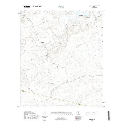
2019 Youngsport
Bell County, TX
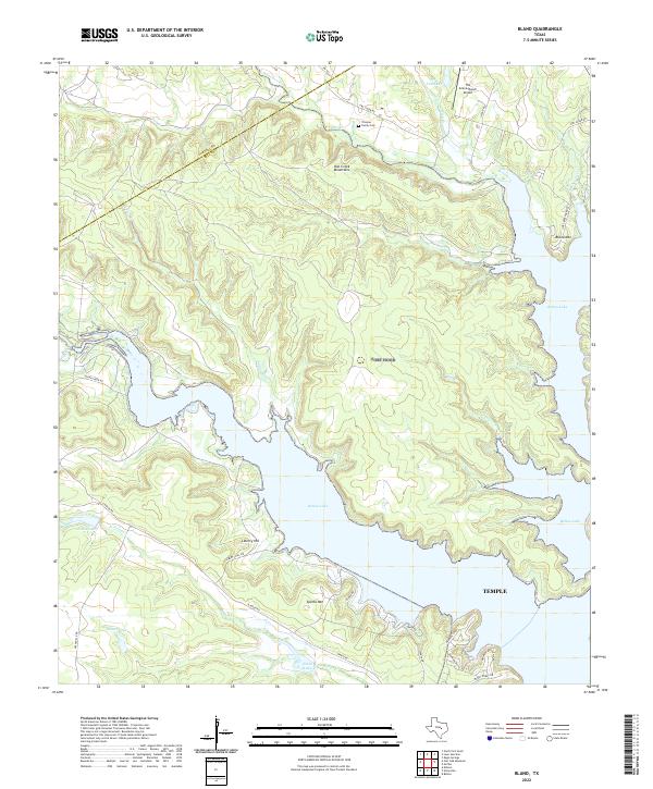
2022 Bland
Bell County, TX
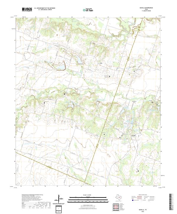
2022 Davilla
Bell County, TX
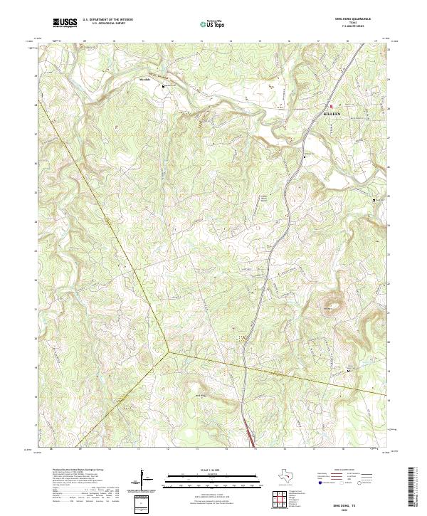
2022 Ding Dong
Bell County, TX
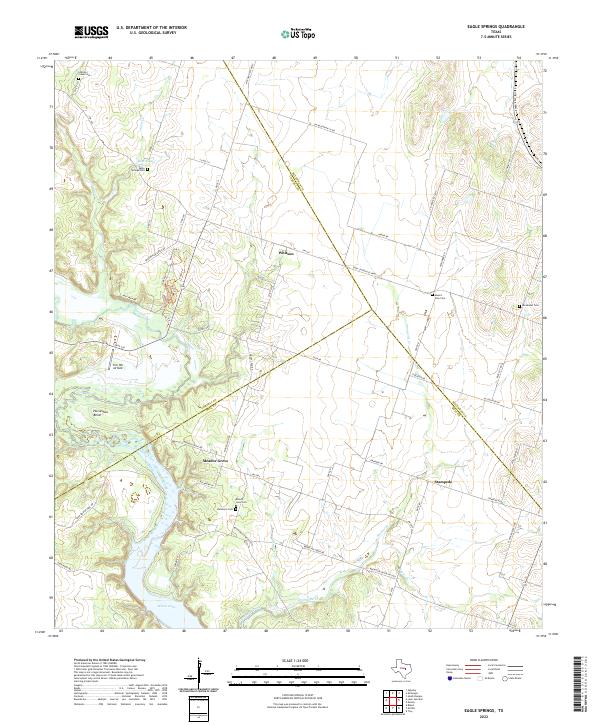
2022 Eagle Springs
Bell County, TX
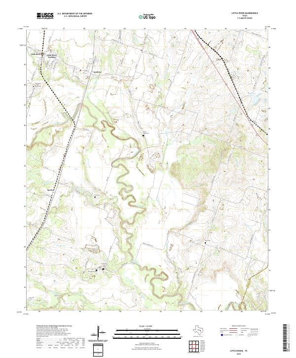
2022 Little River
Bell County, TX
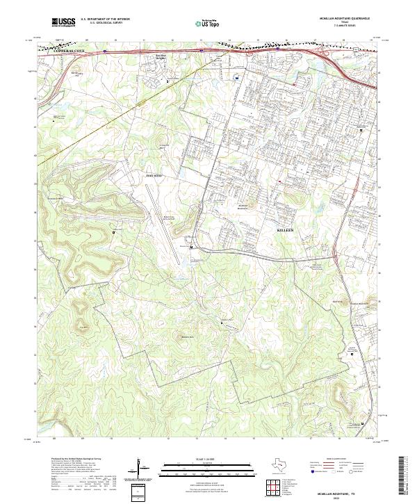
2022 McMillan Mountains
Bell County, TX
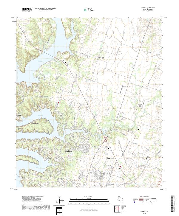
2022 Moffat
Bell County, TX
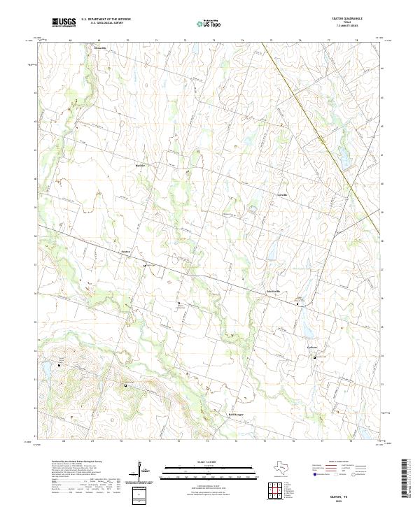
2022 Seaton
Bell County, TX
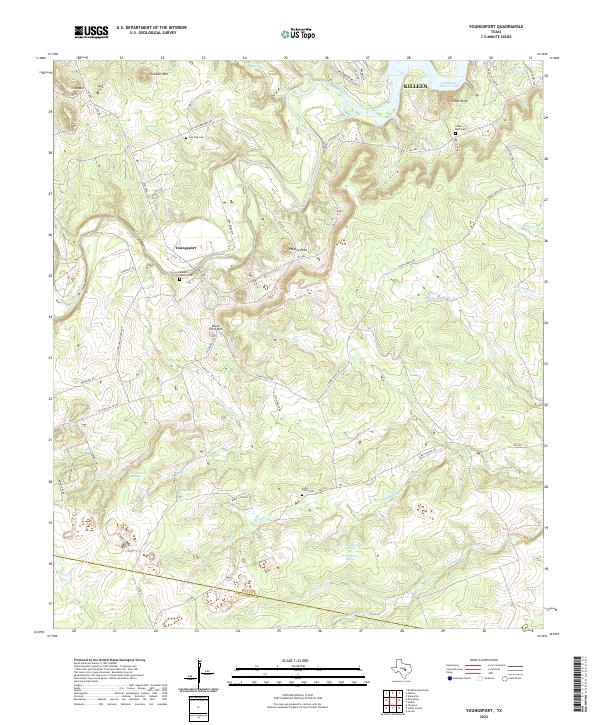
2022 Youngsport
Bell County, TX