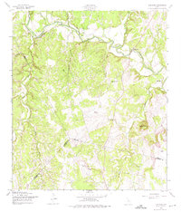
1958 Map of Ding Dong
USGS Topo · Published 1975About this map
The Lampasas River winds through the heart of the Central Texas hill country in this late 1950s survey, marking a landscape defined by sharp elevation shifts and winding watercourses. Small community hubs like Maxdale and the uniquely named Ding Dong anchor the northern reaches of the map, while the Maxdale Community Center and nearby Cemeteries offer specific points of interest for those tracing local family roots.
Find a feature on this map
23 named features on this map. Tap any name to fly to it.
Don’t see what you’re looking for? This feature index may not catch every label — zoom into the map to look around manually.
Map Details
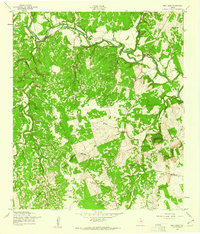
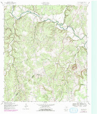
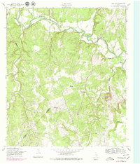
Editions of this 1958 Ding Dong Map
4 editions found
Other maps of this area

1893 · Georgetown
USGS Topo · 1:125,000

1894 · Gatesville
USGS Topo · 1:125,000

1930 · Killeen
USGS Topo · 1:62,500

1947 · Fort Hood
USGS Topo · 1:62,500

1947 · Killeen
USGS Topo · 1:62,500

1947 · McMillan Mountains
USGS Topo · 1:24,000

1947 · Killeen
USGS Topo · 1:24,000

1947 · Copperas Cove
USGS Topo · 1:24,000

1954 · Waco
USGS Topo · 1:250,000

1954 · Austin
USGS Topo · 1:250,000