Loading...
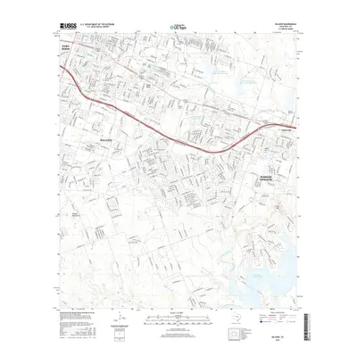
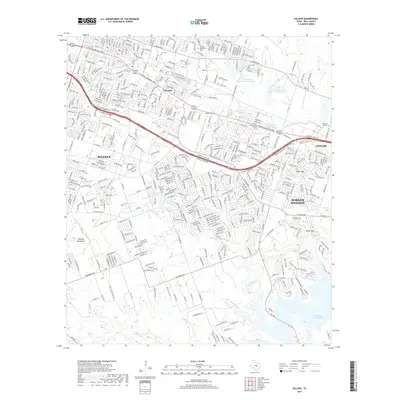
Loading map...1947 Map of Killeen
USGS Topo · Published 1953About this map
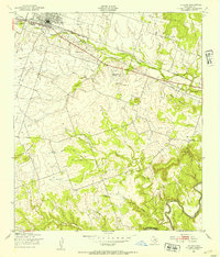
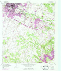
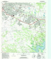
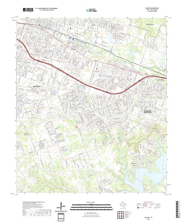
The town of Killeen serves as the focal point for this Bell County landscape during the late 1940s, situated just east of the Fort Hood Military Reservation. The local economy and transport are defined by the Gulf Colorado and Santa Fe railroad, which runs parallel to South Nolan Creek. This era captures a transition in aviation history, showing both the primary Moyer Airport and the Moyer Auxiliary Airport further south.
Find a feature on this map
19 named features on this map. Tap any name to fly to it.
Don’t see what you’re looking for? This feature index may not catch every label — zoom into the map to look around manually.
Map Details
Date Portrayed1947
Date Published1953
PublisherU.S. Geological Survey
Map TypeTopographic
Scale1:24,000
Physical Dimensions23 x 26.8 inches
Editions of this 1947 Killeen Map
This is the sole edition of this map. No revisions or reprints were ever made.
Historical Maps of Killeen Through Time
11 maps found
Featured Locations
Source Details
SourceU.S. Geological Survey
CopyrightPublic Domain