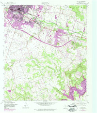
1958 Map of Killeen
USGS Topo · Published 1988About this map
Killeen expanded rapidly in the mid-20th century, a transformation highlighted by the purple-tinted urban extensions that grew toward the Fort Hood Military Reservation. The town's civic structure is defined by its neighborhood schools, including East Ward Sch and Marlboro Sch, while the Atchison Topeka and Santa Fe railroad corridor anchors the northern commercial district.
Find a feature on this map
23 named features on this map. Tap any name to fly to it.
Don’t see what you’re looking for? This feature index may not catch every label — zoom into the map to look around manually.
Map Details
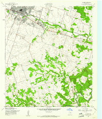
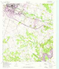
Editions of this 1958 Killeen Map
Other maps of this area

1893 · Georgetown
USGS Topo · 1:125,000

1894 · Gatesville
USGS Topo · 1:125,000

1924 · Gatesville 4-d
USGS Topo · 1:48,000

1924 · Gatesville 4-a
USGS Topo · 1:48,000

1930 · Killeen
USGS Topo · 1:62,500

1947 · Fort Hood
USGS Topo · 1:62,500

1947 · Bland
USGS Topo · 1:24,000

1947 · Fort Hood
USGS Topo · 1:24,000

1947 · Post Oak Mountain
USGS Topo · 1:24,000

1947 · Killeen
USGS Topo · 1:62,500