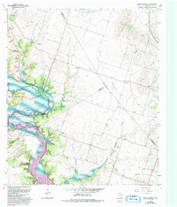
1965 Map of Eagle Springs
USGS Topo · Published 1993About this map
Mother Neff State Park anchors the western edge of this landscape where the Leon River flows into the northern reaches of Belton Lake. The terrain is characterized by the convergence of several waterways, including Station Creek, Onion Creek, and Stampede Creek, which carve through the central Texas countryside. This 1965 survey, updated in the early 1990s, documents the rural infrastructure of Bell and Coryell counties, highlighting the proximity of small community centers like Eagle Springs and Whitson.
Find a feature on this map
34 named features on this map. Tap any name to fly to it.
Don’t see what you’re looking for? This feature index may not catch every label — zoom into the map to look around manually.
Map Details
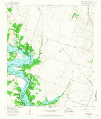
Editions of this 1965 Eagle Springs Map
2 editions found
Other maps of this area

1892 · Temple
USGS Topo · 1:125,000

1894 · Gatesville
USGS Topo · 1:125,000

1924 · Gatesville 4-a
USGS Topo · 1:48,000

1924 · Temple 2-C
USGS Topo · 1:48,000

1924 · Temple 3-B
USGS Topo · 1:48,000

1930 · Killeen
USGS Topo · 1:62,500

1931 · Mc Gregor
USGS Topo · 1:62,500

1931 · Belton
USGS Topo · 1:62,500

1947 · Bland
USGS Topo · 1:24,000

1947 · Killeen
USGS Topo · 1:62,500