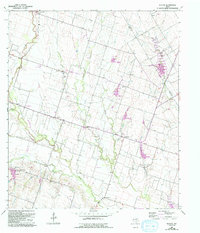
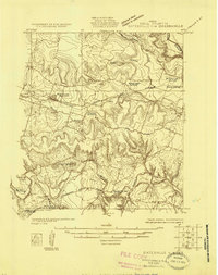
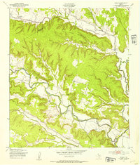
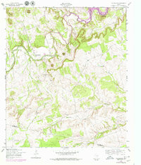
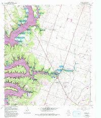
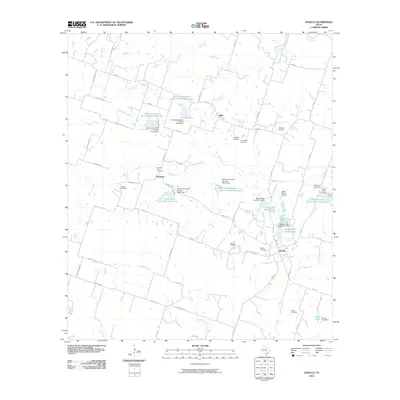
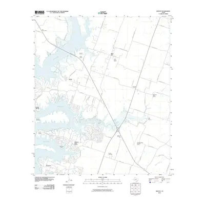
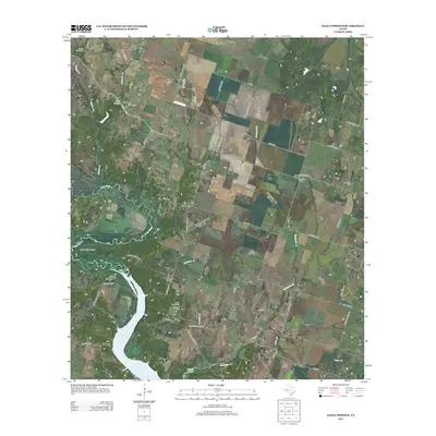
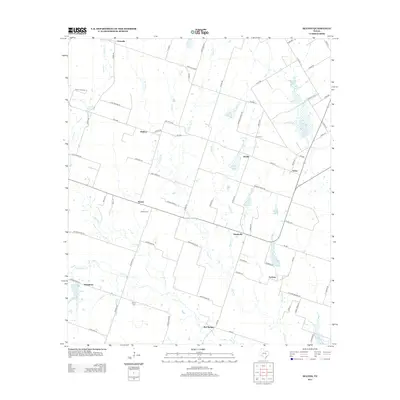
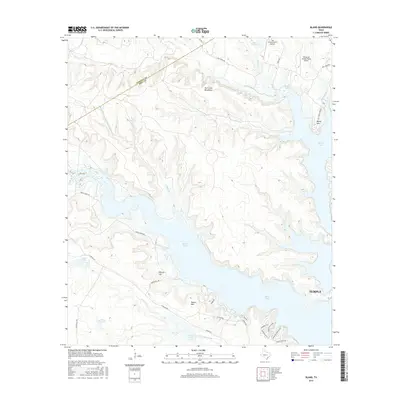
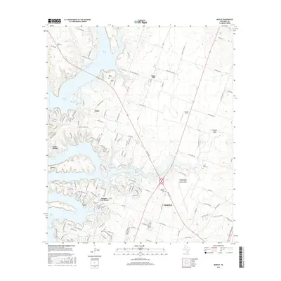
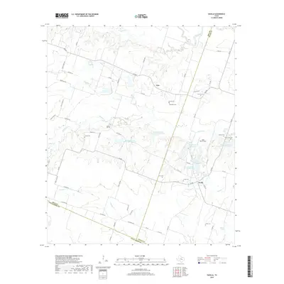
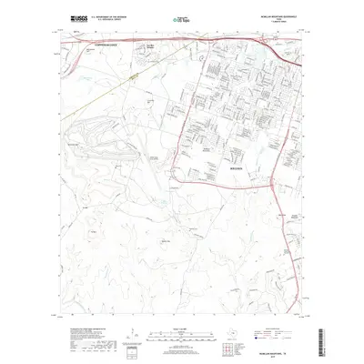
1963 Map of Seaton
USGS Topo · Published 1993About this map
Big Elm Creek and its many tributaries, including Camp Creek, Possum Creek, and Ratibor Branch, define this agricultural landscape in eastern Bell County. The map details a network of small farming communities that emerged in the late 19th and early 20th centuries, such as Seaton, Zabcikville, and Ratibor. Cultural history is well-preserved through labels for the National Cem, the Lost Prairie Sch and its Historical Marker, and several community churches like Ocker Ch.
Find a feature on this map
33 named features on this map. Tap any name to fly to it.
Don’t see what you’re looking for? This feature index may not catch every label — zoom into the map to look around manually.
Map Details
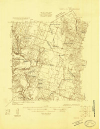
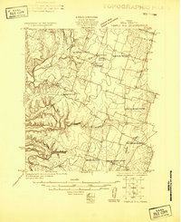
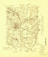
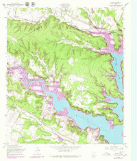
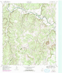
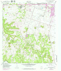
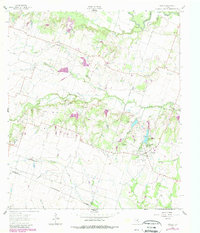
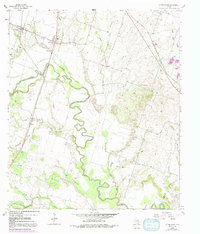
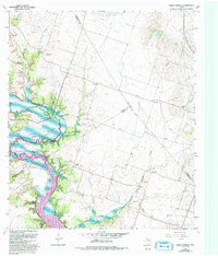
Editions of this 1963 Seaton Map
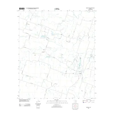
Historical Maps of Ocker Through Time
63 maps found
1924 Gatesville 4-a
Bell County, TX
1924 Gatesville 4-d
Bell County, TX
1924 Temple 2-C
Bell County, TX
1924 Temple 3-B
Bell County, TX
1924 Temple 3-C
Bell County, TX
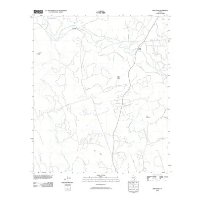
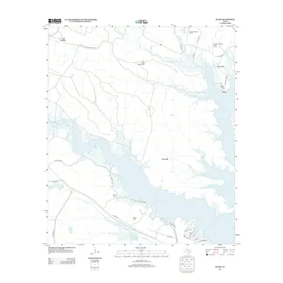
1947 Bland
Bell County, TX

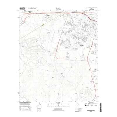
1947 McMillan Mountains
Bell County, TX
1958 Bland
Bell County, TX
1958 Ding Dong
Bell County, TX
1958 McMillan Mountains
Bell County, TX
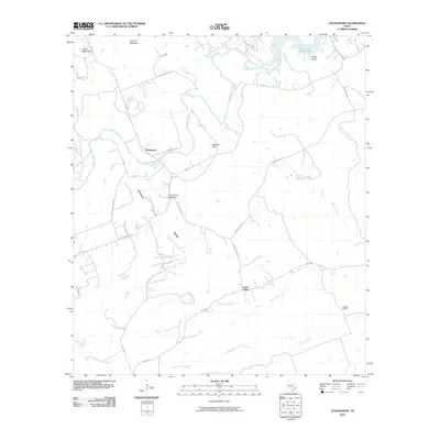
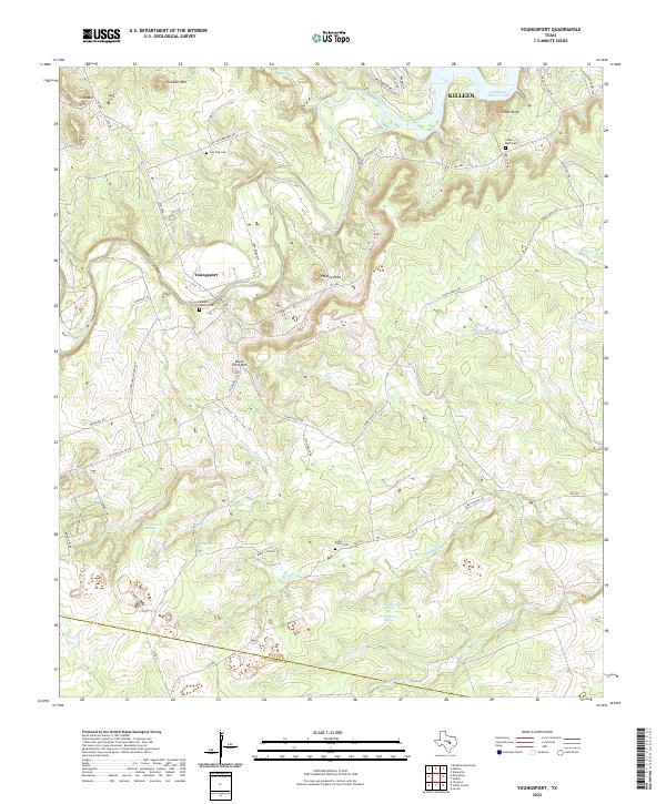
1958 Youngsport
Bell County, TX
1963 Davilla
Bell County, TX
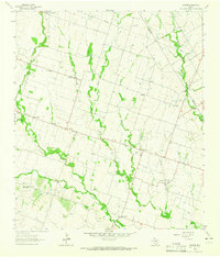
1963 Seaton
Bell County, TX
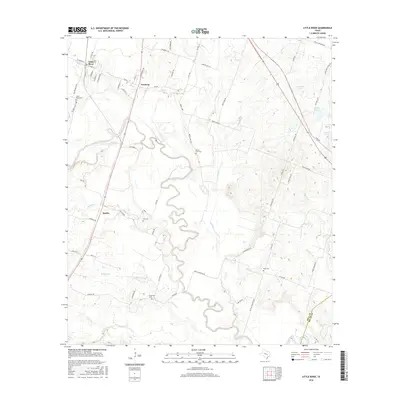
1964 Little River
Bell County, TX
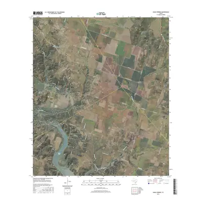
1965 Eagle Springs
Bell County, TX
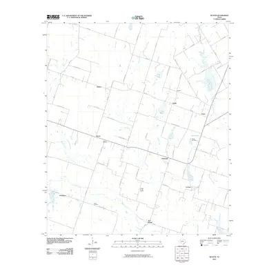
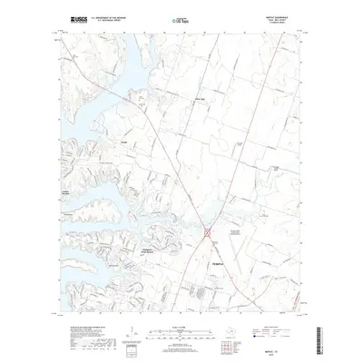
1965 Moffat
Bell County, TX
1994 McMillan Mountains
Bell County, TX
1995 Bland
Bell County, TX
2010 Bland
Bell County, TX
2010 Davilla
Bell County, TX
2010 Ding Dong
Bell County, TX

2010 Eagle Springs
Bell County, TX
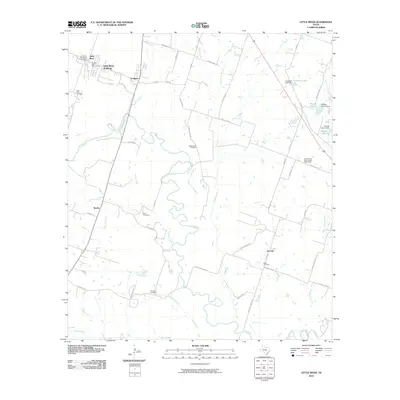
2010 Little River
Bell County, TX
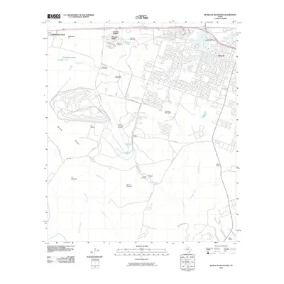
2010 McMillan Mountains
Bell County, TX
2010 Moffat
Bell County, TX
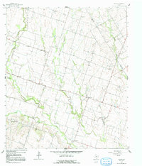
2010 Seaton
Bell County, TX
2010 Youngsport
Bell County, TX
2012 Bland
Bell County, TX
2012 Eagle Springs
Bell County, TX
2012 Little River
Bell County, TX
2012 McMillan Mountains
Bell County, TX
2012 Moffat
Bell County, TX
2012 Seaton
Bell County, TX
2013 Davilla
Bell County, TX
2013 Ding Dong
Bell County, TX
2013 Youngsport
Bell County, TX
2016 Bland
Bell County, TX

2016 Davilla
Bell County, TX

2016 Ding Dong
Bell County, TX
2016 Eagle Springs
Bell County, TX
2016 Little River
Bell County, TX
2016 McMillan Mountains
Bell County, TX
2016 Moffat
Bell County, TX
2016 Seaton
Bell County, TX
2016 Youngsport
Bell County, TX
2019 Bland
Bell County, TX
2019 Davilla
Bell County, TX
2019 Ding Dong
Bell County, TX
2019 Eagle Springs
Bell County, TX
2019 Little River
Bell County, TX
2019 McMillan Mountains
Bell County, TX
2019 Moffat
Bell County, TX
2019 Seaton
Bell County, TX
2019 Youngsport
Bell County, TX
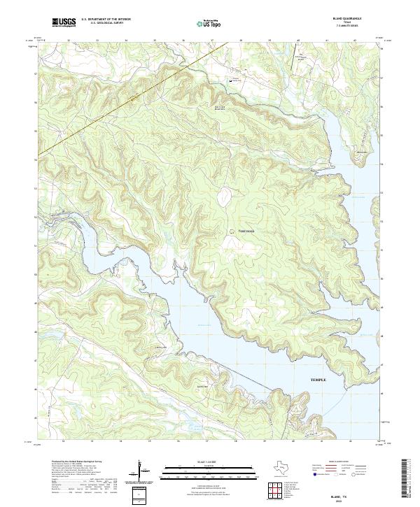
2022 Bland
Bell County, TX
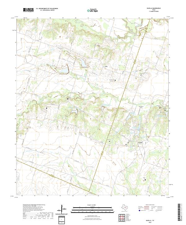
2022 Davilla
Bell County, TX
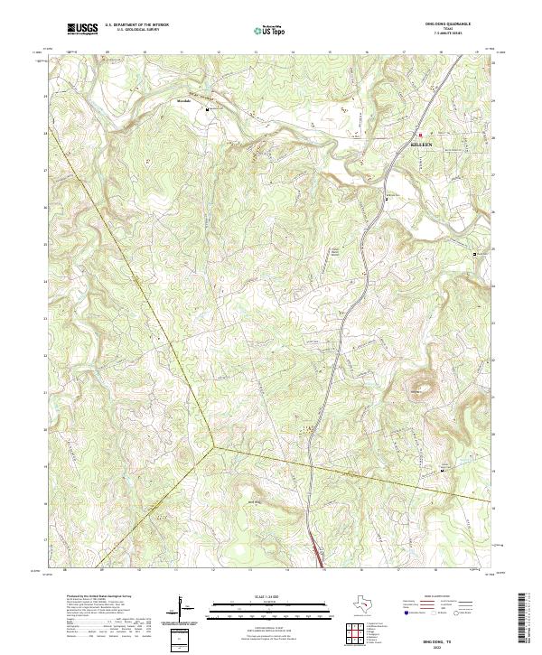
2022 Ding Dong
Bell County, TX
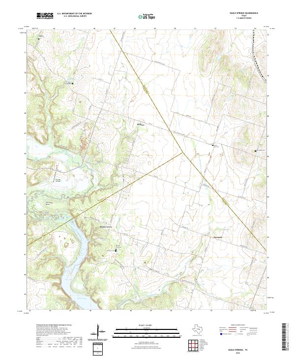
2022 Eagle Springs
Bell County, TX
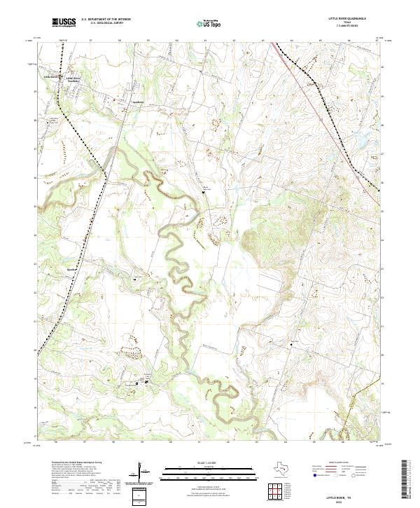
2022 Little River
Bell County, TX
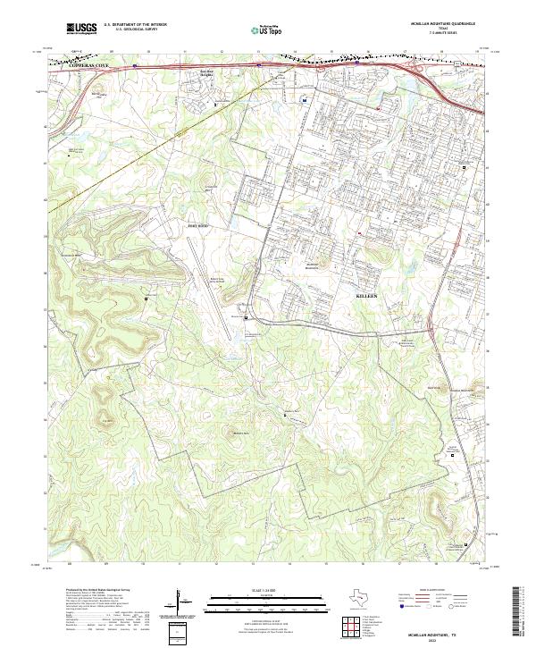
2022 McMillan Mountains
Bell County, TX
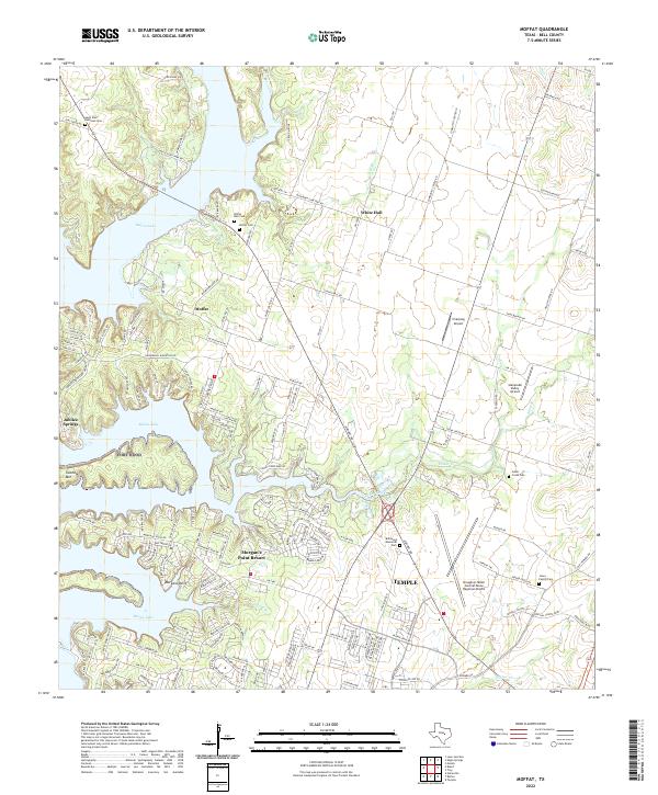
2022 Moffat
Bell County, TX
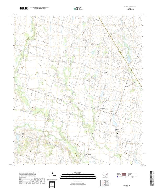
2022 Seaton
Bell County, TX
2022 Youngsport
Bell County, TX