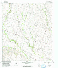
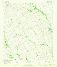
1963 Map of Seaton
USGS Topo · Published 1992About this map
Big Elm Creek and its numerous tributaries, including Ratibor Branch and Salt Creek, define the agricultural landscape of Bell County during the early 1960s. This survey records a network of small, rural farming communities such as Zabcikville, Ratibor, and Oenaville, which are connected by a grid of unimproved dirt roads and light-duty highways. These settlements often centered around local institutions like the Ocker Ch and Lost Prairie Sch, reflecting a social geography built on close-knit rural school districts and parish life.
Find a feature on this map
30 named features on this map. Tap any name to fly to it.
Don’t see what you’re looking for? This feature index may not catch every label — zoom into the map to look around manually.
Map Details
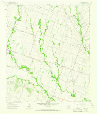
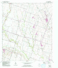
Editions of this 1963 Seaton Map
Other maps of this area

1885 · Taylor
USGS Topo · 1:125,000

1887 · Taylor
USGS Topo · 1:125,000

1892 · Temple
USGS Topo · 1:125,000

1894 · Taylor
USGS Topo · 1:125,000

1931 · Belton
USGS Topo · 1:62,500

1954 · Waco
USGS Topo · 1:250,000

1954 · Austin
USGS Topo · 1:250,000

1955 · Waco
USGS Topo · 1:250,000
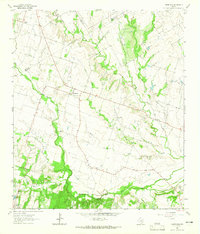
1963 · Yarrelton
USGS Topo · 1:24,000
1963 · Westphalia
USGS Topo · 1:24,000