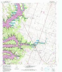
1965 Map of Moffat
USGS Topo · Published 1993About this map
Belton Lake dominates the western landscape of this mid-1960s survey, its winding shoreline creating a complex series of inlets and ridges. The map captures a transitional period for Bell County, where lakeside developments like Morgans Point Resort and Woodland emerge alongside older agricultural settlements like Moffat and White Hall. The topography is defined by the sharp relief of Tweedle Mountain and the deep cuts of Cedar Creek and Kell Branch.
Find a feature on this map
37 named features on this map. Tap any name to fly to it.
Don’t see what you’re looking for? This feature index may not catch every label — zoom into the map to look around manually.
Map Details
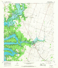
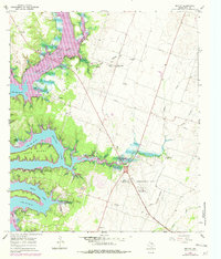
Editions of this 1965 Moffat Map
3 editions found
Other maps of this area

1892 · Temple
USGS Topo · 1:125,000

1894 · Gatesville
USGS Topo · 1:125,000

1924 · Gatesville 4-d
USGS Topo · 1:48,000

1924 · Gatesville 4-a
USGS Topo · 1:48,000

1924 · Temple 2-C
USGS Topo · 1:48,000

1924 · Temple 3-C
USGS Topo · 1:48,000

1924 · Temple 3-B
USGS Topo · 1:48,000

1930 · Killeen
USGS Topo · 1:62,500

1931 · Mc Gregor
USGS Topo · 1:62,500

1931 · Belton
USGS Topo · 1:62,500