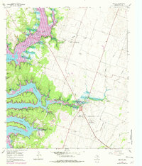
1965 Map of Moffat
USGS Topo · Published 1979About this map
Belton Lake dominates this landscape northwest of the Temple city limits, showcasing the complex shoreline and recreational developments of the mid-1960s. The map illustrates a rural Texas community in transition, where established family landmarks like the Moffat Cem and White Hall Cem sit alongside newer infrastructure like the Draughon-Miller Airport and the Radio Facility. The presence of several parks, including Winkler Park and Rogers Park, indicates the importance of the lake to local recreation, while the Pipeline and various Gravel Pits underscore the region's industrial utility. Settlements like Moffat and White Hall serve as local anchors, with the Moffat Sch and various community centers providing a view of the area's social fabric before further suburban expansion.
Find a feature on this map
39 named features on this map. Tap any name to fly to it.
Don’t see what you’re looking for? This feature index may not catch every label — zoom into the map to look around manually.
Map Details
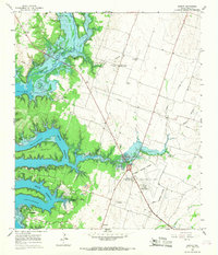
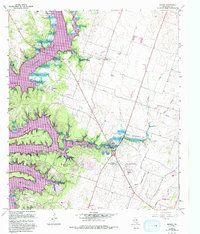
Editions of this 1965 Moffat Map
3 editions found
Other maps of this area

1892 · Temple
USGS Topo · 1:125,000

1894 · Gatesville
USGS Topo · 1:125,000

1924 · Gatesville 4-d
USGS Topo · 1:48,000

1924 · Gatesville 4-a
USGS Topo · 1:48,000

1924 · Temple 2-C
USGS Topo · 1:48,000

1924 · Temple 3-C
USGS Topo · 1:48,000

1924 · Temple 3-B
USGS Topo · 1:48,000

1930 · Killeen
USGS Topo · 1:62,500

1931 · Mc Gregor
USGS Topo · 1:62,500

1931 · Belton
USGS Topo · 1:62,500