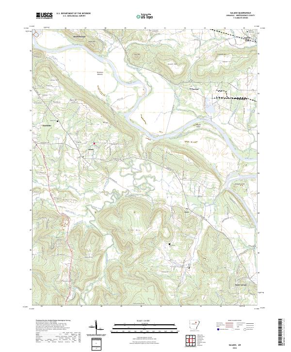
2024 Map of Salado
USGS Topo · Published 2024About this map
The White River winds through the northern and eastern portions of this Independence County landscape, creating a fertile river-and-ridge environment defined by historical settlements. Communities like Salado, Southside, and Rosie are connected by a network of rural routes including the historic Newport Rd, which traverses the central terrain. The map captures the agricultural and geographical layout of the region, where family-named landmarks such as Allen Hill, Neal Mtn, and Uncle Joe Warren Mtn rise above the surrounding creek basins.
Find a feature on this map
108 named features on this map. Tap any name to fly to it.
Don’t see what you’re looking for? This feature index may not catch every label — zoom into the map to look around manually.
Map Details
Editions of this 2024 Salado Map
This is the sole edition of this map. No revisions or reprints were ever made.
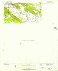
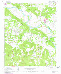
Historical Maps of Maple Springs Through Time
3 maps found