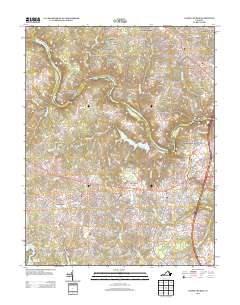
2013 Map of Salem Church
USGS Topo · Published 2013About this map
The Rappahannock River winds through this region of Spotsylvania County, serving as a boundary for diverse residential developments and historic land tracts. Suburban expansion is evident in the cluster of neighborhoods such as Waverly Village and Stafford Lakes Village, which sit alongside older named sites like Berea Plantation and Monroe Farm. The landscape is heavily defined by its water management and drainage systems, featuring the expansive Motts Run Reservoir and the Ni River Reservoir to the south.
Find a feature on this map
58 named features on this map. Tap any name to fly to it.
Don’t see what you’re looking for? This feature index may not catch every label — zoom into the map to look around manually.
Map Details
Editions of this 2013 Salem Church Map
This is the sole edition of this map. No revisions or reprints were ever made.
Other maps of this area

1887 · Spottsylvania
USGS Topo · 1:125,000

1889 · Fredericksburg
USGS Topo · 1:125,000

1892 · Fredericksburg
USGS Topo · 1:125,000

1892 · Spottsylvania
USGS Topo · 1:125,000

1894 · Fredericksburg
USGS Topo · 1:125,000

1926 · Stafford
USGS Topo · 1:62,500

1931 · Stafford
USGS Topo · 1:62,500

1942 · Guinea
USGS Topo · 1:31,680

1942 · Spotsylania
USGS Topo · 1:31,680

1942 · Brokenburg
USGS Topo · 1:31,680