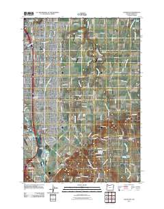
2011 Map of Salem East
USGS Topo · Published 2011About this map
Salem expands eastward into the fertile Howell Prairie and its surrounding valleys, where a network of creeks and small airfields defines the rural-urban interface. The landscape is marked by historical burial sites such as the Stipp Memorial Cemetery, Eoff Cemetery, and Chemawa Cemetery, reflecting a deep genealogical record of Marion County families. Several smaller communities and crossroads, including Hayesville, Middle Grove, and Macleay, are established along the drainage of the Little Pudding River and Mill Creek. The eastern portion of the quadrangle shows the transition from the dense residential developments of Four Corners to the agricultural expanses of Fruitland and Pratum. Institutional and infrastructure landmarks are prominent, notably the Oregon State Correctional Institution and the Salem Post Office, alongside several private landing strips like Lusardi Field Airport and Blue Skies Farm Airport.
Find a feature on this map
102 named features on this map. Tap any name to fly to it.
Don’t see what you’re looking for? This feature index may not catch every label — zoom into the map to look around manually.
Map Details
Editions of this 2011 Salem East Map
This is the sole edition of this map. No revisions or reprints were ever made.
Other maps of this area

1915 · Eola
USGS Topo · 1:31,680

1915 · Sidney
USGS Topo · 1:31,680

1917 · Salem
USGS Topo · 1:62,500

1923 · Mount Angel
USGS Topo · 1:62,500

1924 · Mc Minnville
USGS Topo · 1:48,000

1925 · Stayton
USGS Topo · 1:62,500

1926 · Mc Minnville
USGS Topo · 1:62,500

1940 · McMinnville
USGS Topo · 1:62,500

1940 · Salem
USGS Topo · 1:62,500

1940 · Mount Angel
USGS Topo · 1:62,500