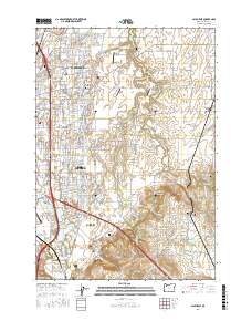
2017 Map of Salem East
USGS Topo · Published 2017About this map
Salem's eastern reaches in the late 2010s are characterized by a transition from dense urban neighborhoods to the agricultural heart of the Willamette Valley. The landscape is structured by major thoroughfares like Silverton Rd NE and Portland Rd NE, which connect established communities such as Hayesville, Four Corners, and Middle Grove. This era of development is anchored by the campus of Chemeketa Community Coll and aviation facilities like McNary Field and several smaller private landing strips including Fly 'N' W Airport.
Find a feature on this map
195 named features on this map. Tap any name to fly to it.
Don’t see what you’re looking for? This feature index may not catch every label — zoom into the map to look around manually.
Map Details
Editions of this 2017 Salem East Map
This is the sole edition of this map. No revisions or reprints were ever made.
Other maps of this area

1915 · Eola
USGS Topo · 1:31,680

1915 · Sidney
USGS Topo · 1:31,680

1917 · Salem
USGS Topo · 1:62,500

1923 · Mount Angel
USGS Topo · 1:62,500

1924 · Mc Minnville
USGS Topo · 1:48,000

1925 · Stayton
USGS Topo · 1:62,500

1926 · Mc Minnville
USGS Topo · 1:62,500

1940 · McMinnville
USGS Topo · 1:62,500

1940 · Salem
USGS Topo · 1:62,500

1940 · Mount Angel
USGS Topo · 1:62,500