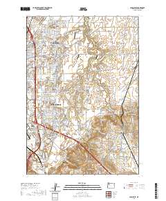
2020 Map of Salem East
USGS Topo · Published 2020About this map
Salem's eastern residential and agricultural fringes are meticulously documented in this 2020 record, showing a landscape defined by the suburban expansion of Four Corners and Hayesville into the fertile fields of Howell Prairie. The survey illustrates the transition from dense neighborhood grids to large-scale agriculture, where the Little Pudding River and its various forks, including the W Fork Little Pudding River, wind through the terrain. Educational and community anchors like Chemeketa Community College and Corban College are prominent, alongside smaller aviation markers such as Fly 'N' W Airport and Blue Skies Farm Airport. Genealogists will find the locations of several historic burial grounds, including the Stipp Memorial Cem and Howell Cem, while the outlying settlements of Pratum and Macleay represent the area's enduring rural character east of the city core.
Find a feature on this map
48 named features on this map. Tap any name to fly to it.
Don’t see what you’re looking for? This feature index may not catch every label — zoom into the map to look around manually.
Map Details
Editions of this 2020 Salem East Map
This is the sole edition of this map. No revisions or reprints were ever made.
Other maps of this area

1915 · Eola
USGS Topo · 1:31,680

1915 · Sidney
USGS Topo · 1:31,680

1917 · Salem
USGS Topo · 1:62,500

1923 · Mount Angel
USGS Topo · 1:62,500

1924 · Mc Minnville
USGS Topo · 1:48,000

1925 · Stayton
USGS Topo · 1:62,500

1926 · Mc Minnville
USGS Topo · 1:62,500

1940 · McMinnville
USGS Topo · 1:62,500

1940 · Salem
USGS Topo · 1:62,500

1940 · Mount Angel
USGS Topo · 1:62,500