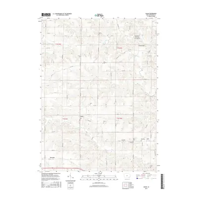
2015 Map of Salina
USGS Topo · Published 2015About this map
Germanville and Salina anchor this agrarian landscape in Jefferson County, where the settlement patterns of early European immigrant communities are preserved in the dense concentration of denominational cemeteries. The map reveals a high degree of genealogical detail, specifically reflecting German and Swedish heritage through sites like Saint Peters and Pauls German Catholic Cem, the German Lutheran Cem, and several New Sweden burial grounds.
Find a feature on this map
79 named features on this map. Tap any name to fly to it.
Don’t see what you’re looking for? This feature index may not catch every label — zoom into the map to look around manually.
Map Details
Editions of this 2015 Salina Map
This is the sole edition of this map. No revisions or reprints were ever made.
Other maps of this area

1958 · Burlington
USGS Topo · 1:250,000

1958 · Davenport
USGS Topo · 1:250,000

1961 · Burlington
USGS Topo · 1:250,000

1961 · Davenport
USGS Topo · 1:250,000

1962 · Davenport
USGS Topo · 1:250,000

1963 · Burlington
USGS Topo · 1:250,000
1980 · Fairfield North
USGS Topo · 1:24,000
1980 · Richland
USGS Topo · 1:24,000

1980 · Brighton
USGS Topo · 1:24,000
1980 · Fairfield South
USGS Topo · 1:24,000