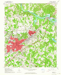
1962 Map of Salisbury
USGS Topo · Published 1964About this map
Salisbury and its industrial satellites are captured here during a period of significant mid-century growth along the Southern railroad lines. The urban core is flanked by major institutions, including Catawba College, Livingstone College, and the sprawling VA Hospital complex. In the surrounding landscape, numerous quarries and pits southwest of South Salisbury point to the area's granite mining heritage.
Find a feature on this map
66 named features on this map. Tap any name to fly to it.
Don’t see what you’re looking for? This feature index may not catch every label — zoom into the map to look around manually.
Map Details
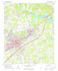
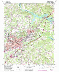
Editions of this 1962 Salisbury Map
3 editions found
Other maps of this area

1893 · Statesville
USGS Topo · 1:125,000

1950 · Lexington West
USGS Topo · 1:24,000

1950 · Churchland
USGS Topo · 1:24,000

1951 · Churchland
USGS Topo · 1:24,000

1951 · Lexington West
USGS Topo · 1:24,000

1953 · Charlotte
USGS Topo · 1:250,000

1954 · Charlotte
USGS Topo · 1:250,000

1960 · Charlotte
USGS Topo · 1:250,000

1962 · Charlotte
USGS Topo · 1:250,000

1962 · Southmont
USGS Topo · 1:24,000