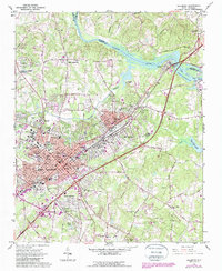
1962 Map of Salisbury
USGS Topo · Published 1987About this map
The rail-driven hub of Salisbury and its neighbors Spencer and East Spencer dominate this mid-century survey, showcasing a landscape shaped by the Southern railroad. The intricate street grids of the city reveal major educational landmarks like Catawba College and Livingstone College, alongside the sprawling VA Hospital complex. Genealogy and local history are exceptionally well-represented here through several burial grounds, including the National Cem, Dixonville Cem, and Rowan Memorial Park Cemetery.
Find a feature on this map
66 named features on this map. Tap any name to fly to it.
Don’t see what you’re looking for? This feature index may not catch every label — zoom into the map to look around manually.
Map Details
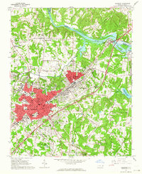
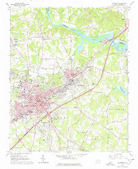
Editions of this 1962 Salisbury Map
3 editions found
Other maps of this area

1893 · Statesville
USGS Topo · 1:125,000

1950 · Lexington West
USGS Topo · 1:24,000

1950 · Churchland
USGS Topo · 1:24,000

1951 · Churchland
USGS Topo · 1:24,000

1951 · Lexington West
USGS Topo · 1:24,000

1953 · Charlotte
USGS Topo · 1:250,000

1954 · Charlotte
USGS Topo · 1:250,000

1960 · Charlotte
USGS Topo · 1:250,000

1962 · Charlotte
USGS Topo · 1:250,000

1962 · Southmont
USGS Topo · 1:24,000