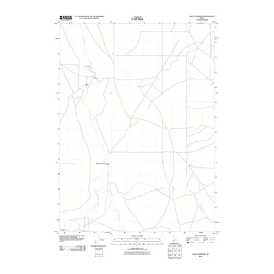
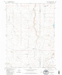
2010 Map of Salls Crossing
USGS Topo · Published 2010About this map
Salls Crossing and the surrounding high desert of Owyhee County are defined by a network of seasonal watercourses and remote transit points. In this corner of southwestern Idaho, the drainage patterns of Clover Creek and Deadwood Creek dictate the landscape, carved by geographic features like Seventy-One Draw. This survey captures a region where movement is oriented around historical crossing points, including Smith Crossing and Crawfish Crossing, which provided essential passage through the drainage basins of Big Flat Creek and Three Creek. The terrain is characterized by broad, high-elevation plateaus such as Doe Flat and Buck Flat, reflecting a landscape dedicated to rangeland and resource management where the road network follows the natural contours of the draws and creek beds.
Find a feature on this map
10 named features on this map. Tap any name to fly to it.
Don’t see what you’re looking for? This feature index may not catch every label — zoom into the map to look around manually.
Map Details
Editions of this 2010 Salls Crossing Map
This is the sole edition of this map. No revisions or reprints were ever made.
Other maps of this area

1955 · Twin Falls
USGS Topo · 1:250,000

1958 · Twin Falls
USGS Topo · 1:250,000

1979 · Salls Crossing
USGS Topo · 1:24,000

1979 · Mosquito Lake Butte
USGS Topo · 1:24,000
1979 · Three Creek
USGS Topo · 1:24,000
1979 · Murphy Hot Springs
USGS Topo · 1:24,000

1979 · Coonskin Butte
USGS Topo · 1:24,000

1980 · Juniper Butte
USGS Topo · 1:24,000
1980 · Curtis Draw
USGS Topo · 1:24,000
1980 · Grassy Hills
USGS Topo · 1:24,000