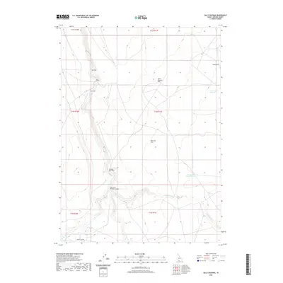
2020 Map of Salls Crossing
USGS Topo · Published 2020About this map
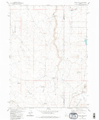
Salls Crossing serves as a focal point in this high-desert landscape, where the seasonal waters of Clover Cr have carved paths through the plateau. This 2020 survey of Owyhee County captures a region defined by its drainage systems and cattle-ranching infrastructure, featuring numerous named depressions and catchment basins like Seventy-One Draw and Buck Flat Draw. The geography is characterized by wide alluvial features such as Doe Flat and Buck Flat, set against the backdrop of the Mount Bennett Hills.
Find a feature on this map
22 named features on this map. Tap any name to fly to it.
Don’t see what you’re looking for? This feature index may not catch every label — zoom into the map to look around manually.
Map Details
Editions of this 2020 Salls Crossing Map
This is the sole edition of this map. No revisions or reprints were ever made.
Other maps of this area

1955 · Twin Falls
USGS Topo · 1:250,000

1958 · Twin Falls
USGS Topo · 1:250,000

1979 · Salls Crossing
USGS Topo · 1:24,000

1979 · Mosquito Lake Butte
USGS Topo · 1:24,000
1979 · Three Creek
USGS Topo · 1:24,000
1979 · Murphy Hot Springs
USGS Topo · 1:24,000

1979 · Coonskin Butte
USGS Topo · 1:24,000

1980 · Juniper Butte
USGS Topo · 1:24,000
1980 · Curtis Draw
USGS Topo · 1:24,000
1980 · Grassy Hills
USGS Topo · 1:24,000