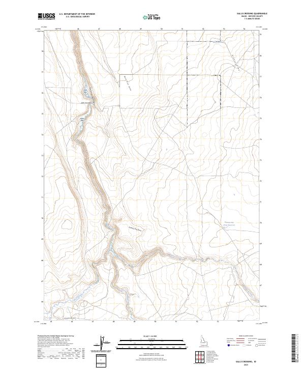
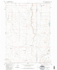
2023 Map of Salls Crossing
USGS Topo · Published 2023About this map
Salls Crossing serves as a central point of interest in this high-desert landscape of Owyhee County, situated where the Clover Creek drainage meets the deep incision of the East Fork Bruneau Canyon. The geography is defined by a series of high alluvial plains and seasonal watercourses, with notable landmarks such as Doe Flat and Buck Flat providing topographic breaks between the rugged draws. To the east, the landscape opens into broad drainage basins like Aikers Draw and Seventy-One Draw, where ranching infrastructure is evident through the presence of the Shirk Reservoir and the Seventy-One Draw Reservoir. Toward the southern reach of the sheet, the convergence of Three Creek and Deadwood Creek highlights the drainage patterns of this arid plateau. The local road network is sparse, represented primarily by the descriptive Crawfish Loop Rd, reflecting the remote and agricultural character of this Idaho backcountry.
Find a feature on this map
20 named features on this map. Tap any name to fly to it.
Don’t see what you’re looking for? This feature index may not catch every label — zoom into the map to look around manually.
Map Details
Editions of this 2023 Salls Crossing Map
This is the sole edition of this map. No revisions or reprints were ever made.
Other maps of this area

1955 · Twin Falls
USGS Topo · 1:250,000

1958 · Twin Falls
USGS Topo · 1:250,000

1979 · Salls Crossing
USGS Topo · 1:24,000

1979 · Mosquito Lake Butte
USGS Topo · 1:24,000
1979 · Three Creek
USGS Topo · 1:24,000
1979 · Murphy Hot Springs
USGS Topo · 1:24,000

1979 · Coonskin Butte
USGS Topo · 1:24,000

1980 · Juniper Butte
USGS Topo · 1:24,000
1980 · Curtis Draw
USGS Topo · 1:24,000
1980 · Grassy Hills
USGS Topo · 1:24,000