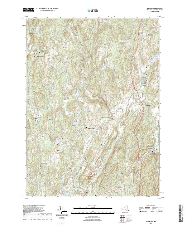
2023 Map of Salt Point
USGS Topo · Published 2023About this map
Wappinger Creek and its branches, including Little Wappinger Creek and the East Branch Wappinger Creek, carve a rolling landscape through central Dutchess County. This modern topographic record reveals a dense network of early crossroads settlements and historic religious sites, such as the Orthodox Friends Meeting House and Friends Creek Meeting House near Clinton Corners. The spatial distribution of these meeting houses and churches like the Pleasant Plains Presbyterian Church indicates the long-standing community centers that have anchored this region for generations.
Find a feature on this map
145 named features on this map. Tap any name to fly to it.
Don’t see what you’re looking for? This feature index may not catch every label — zoom into the map to look around manually.
Map Details
Editions of this 2023 Salt Point Map
This is the sole edition of this map. No revisions or reprints were ever made.
Other maps of this area

1893 · Clove
USGS Topo · 1:62,500

1893 · Poughkeepsie
USGS Topo · 1:62,500

1894 · Clove
USGS Topo · 1:62,500

1894 · Poughkeepsie
USGS Topo · 1:62,500

1898 · Clove
USGS Topo · 1:62,500

1898 · Rhinebeck
USGS Topo · 1:62,500

1899 · Millbrook
USGS Topo · 1:62,500

1901 · Clove
USGS Topo · 1:62,500

1902 · Millbrook
USGS Topo · 1:62,500

1903 · Poughkeepsie
USGS Topo · 1:62,500