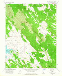
1962 Map of Salt Spring Valley
USGS Topo · Published 1963About this map
The Bear Mountains dominate this 1962 survey of Calaveras County, where the landscape is defined by the industrial legacy of the Mother Lode region. Mining activity is prominent throughout the terrain, particularly in the southern reaches where the Mountain King Mine, Royal Mine, and Big Seven Mine are located near Gopher Ridge. The rugged topography, characterized by deep cuts like Heiser Canyon and peaks like Mount Ararat, drops off into the broad floor of Salt Spring Valley.
Find a feature on this map
42 named features on this map. Tap any name to fly to it.
Don’t see what you’re looking for? This feature index may not catch every label — zoom into the map to look around manually.
Map Details
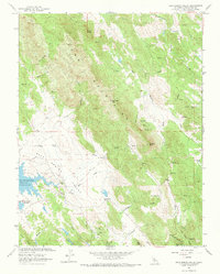
Editions of this 1962 Salt Spring Valley Map
2 editions found
Other maps of this area

1889 · Jackson
USGS Topo · 1:125,000

1892 · Jackson
USGS Topo · 1:125,000

1897 · Jackson
USGS Topo · 1:125,000

1902 · Jackson
USGS Topo · 1:125,000

1916 · Bachelor Valley
USGS Topo · 1:31,680

1916 · Copperopolis
USGS Topo · 1:62,500

1942 · Farmington
USGS Topo · 1:62,500

1942 · Copperopolis
USGS Topo · 1:62,500

1944 · Valley Springs
USGS Topo · 1:62,500

1945 · San Andreas
USGS Topo · 1:62,500