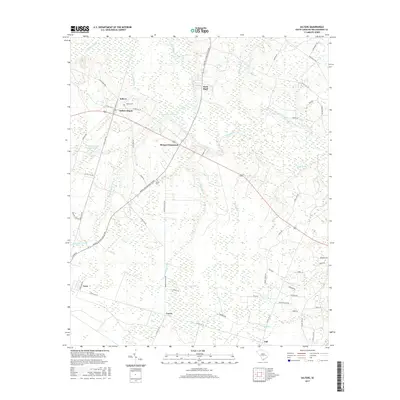
2017 Map of Salters
USGS Topo · Published 2017About this map
Salters and its adjacent Salters Depot serve as primary points of interest in this Williamsburg County landscape, where the Black River winds through a complex system of bottomlands. The terrain is characterized by numerous low-lying drainages, including Thorntree Swamp, Laws Swamp, and Dickey Swamp, which together define the area's agricultural and settlement patterns. The infrastructure reflects a rural network centered on local hubs like Bryans Crossroads and the southern town of Lane, connected by historical routes such as Old Gapway Rd and the more modern Martin Luther King Jr Ave.
Find a feature on this map
58 named features on this map. Tap any name to fly to it.
Don’t see what you’re looking for? This feature index may not catch every label — zoom into the map to look around manually.
Map Details
Editions of this 2017 Salters Map
This is the sole edition of this map. No revisions or reprints were ever made.
Other maps of this area

1943 · Trio
USGS Topo · 1:24,000

1943 · Bonneau
USGS Topo · 1:62,500

1946 · Kingstree
USGS Topo · 1:62,500

1946 · Indiantown
USGS Topo · 1:62,500

1949 · Georgetown
USGS Topo · 1:250,000

1967 · Georgetown
USGS Topo · 1:250,000

1974 · Georgetown
USGS Topo · 1:250,000

1986 · Georgetown
USGS Topo · 1:100,000

1986 · Kingstree
USGS Topo · 1:100,000
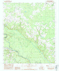
1990 · Blakely
USGS Topo · 1:24,000