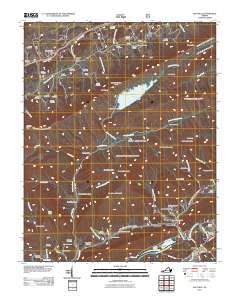
2011 Map of Saltville
USGS Topo · Published 2011About this map
Saltville and its surrounding mountain gaps are revealed in this 2011 survey, which captures a landscape defined by industrial history and rugged Appalachian topography. The North Fork Holston River curves through the southeastern corner, anchoring settlements like Henrytown and Allison Gap. To the north, the elevation rises sharply toward the Clinch Mountain Spur, where Laurel Bed Lake and the Laurel Bed Dam sit atop the high plateau.
Find a feature on this map
87 named features on this map. Tap any name to fly to it.
Don’t see what you’re looking for? This feature index may not catch every label — zoom into the map to look around manually.
Map Details
Editions of this 2011 Saltville Map
This is the sole edition of this map. No revisions or reprints were ever made.
Other maps of this area

1891 · Tazewell
USGS Topo · 1:125,000

1891 · Abingdon
USGS Topo · 1:125,000

1894 · Abingdon
USGS Topo · 1:125,000

1895 · Tazewell
USGS Topo · 1:125,000

1897 · Tazewell
USGS Topo · 1:125,000

1909 · Abingdon
USGS Topo · 1:96,000

1911 · Abingdon
USGS Topo · 1:125,000

1912 · Pounding Mill
USGS Topo · 1:62,500

1915 · Richlands
USGS Topo · 1:48,000

1916 · Pounding Mill
USGS Topo · 1:62,500