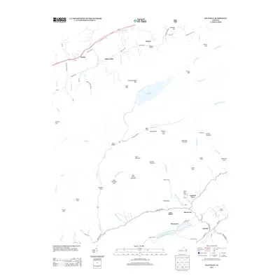
2013 Map of Saltville
USGS Topo · Published 2013About this map
Saltville and the winding N Fork Holston River anchor this Southwest Virginia landscape, which is defined by high ridges and secluded hollows. The settlement pattern follows the narrow valleys, with distinct communities such as Allison Gap, Cardwell Town, and Henrytown clustered near the river. To the north, the terrain rises toward Clinch Mountain Spur, where Laurel Bed Lake sits atop the high ground of Laurel Bed. This geography created a series of isolated coves like Tumbling Cove and Kyers Cove, many of which were accessed by traditional routes such as Poor Valley Rd and Tumbling Creek Rd. Further north, Belfast Mills and Belfast highlight the agricultural and milling history of the Indian Cr drainage. The map provides a look at these naming conventions and land divisions, from the peaks of Whiterock Mountain to the curiously named Lick Skillet.
Find a feature on this map
73 named features on this map. Tap any name to fly to it.
Don’t see what you’re looking for? This feature index may not catch every label — zoom into the map to look around manually.
Map Details
Editions of this 2013 Saltville Map
This is the sole edition of this map. No revisions or reprints were ever made.
Other maps of this area

1891 · Tazewell
USGS Topo · 1:125,000

1891 · Abingdon
USGS Topo · 1:125,000

1894 · Abingdon
USGS Topo · 1:125,000

1895 · Tazewell
USGS Topo · 1:125,000

1897 · Tazewell
USGS Topo · 1:125,000

1909 · Abingdon
USGS Topo · 1:96,000

1911 · Abingdon
USGS Topo · 1:125,000

1912 · Pounding Mill
USGS Topo · 1:62,500

1915 · Richlands
USGS Topo · 1:48,000

1916 · Pounding Mill
USGS Topo · 1:62,500