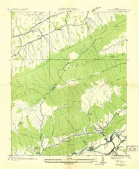
1935 Map of Saltville
USGS Topo · Published 1935About this map
The North Fork Holston River anchors this mid-1930s industrial and educational landscape, dominated by the presence of Saltville and the Mathieson Alkali Works R R. The map details a complex settlement pattern along the river valley and its tributaries, where industrial nodes like Allison Gap and Henrytown sit in close proximity to institutional centers such as Tumbling Creek College and several rural schools including Jones Chapel Sch.
Find a feature on this map
63 named features on this map. Tap any name to fly to it.
Don’t see what you’re looking for? This feature index may not catch every label — zoom into the map to look around manually.
Map Details
Editions of this 1935 Saltville Map
This is the sole edition of this map. No revisions or reprints were ever made.
Other maps of this area

1891 · Tazewell
USGS Topo · 1:125,000

1891 · Abingdon
USGS Topo · 1:125,000

1894 · Abingdon
USGS Topo · 1:125,000

1895 · Tazewell
USGS Topo · 1:125,000

1897 · Tazewell
USGS Topo · 1:125,000

1909 · Abingdon
USGS Topo · 1:96,000

1911 · Abingdon
USGS Topo · 1:125,000

1912 · Pounding Mill
USGS Topo · 1:62,500

1915 · Richlands
USGS Topo · 1:48,000

1916 · Pounding Mill
USGS Topo · 1:62,500