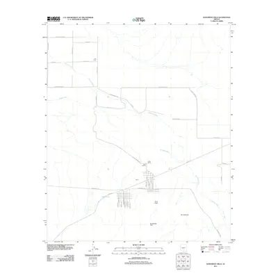
2011 Map of Samaniego Hills
USGS Topo · Published 2011About this map
The settlement of Sasco serves as a focal point for this Arizona landscape, positioned near the intersection of several significant geological and hydrological features. The historical footprint of the area is anchored by the Sasco Cemetery, while the seasonal flow of the Santa Cruz River and the engineered Greene Canal illustrate the region's managed water resources. To the south, the terrain rises into the Samaniego Hills, featuring prominent peaks such as Cerro Prieto and Pan Quemado.
Find a feature on this map
43 named features on this map. Tap any name to fly to it.
Don’t see what you’re looking for? This feature index may not catch every label — zoom into the map to look around manually.
Map Details
Editions of this 2011 Samaniego Hills Map
This is the sole edition of this map. No revisions or reprints were ever made.
Other maps of this area

1934 · Tucson Mountains
USGS Topo · 1:125,000

1934 · Silver Bell
USGS Topo · 1:125,000

1934 · Newman Peak
USGS Topo · 1:125,000

1947 · Red Rock
USGS Topo · 1:62,500

1947 · Eloy
USGS Topo · 1:62,500

1948 · Eloy
USGS Topo · 1:62,500

1956 · Tucson
USGS Topo · 1:250,000

1958 · Tucson
USGS Topo · 1:250,000

1959 · Tucson
USGS Topo · 1:250,000

1959 · Vaca Hills
USGS Topo · 1:62,500