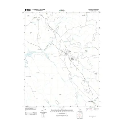
2012 Map of San Andreas
USGS Topo · Published 2012About this map
San Andreas serves as the focal point of this Mother Lode landscape, situated where the N Fork Calaveras River and several major creeks converge. The topography is defined by prominent elevations such as Hogback Mountain, Pine Peak, and Mount Ophir, interspersed with numerous gulches that speak to the area's gold-mining heritage, including Chili Gulch and Spring Gulch. Family and historic associations are scattered throughout the hills, from the Filippini Ranch in the north to the Kentucky House and Fourth Crossing settlements further south.
Find a feature on this map
83 named features on this map. Tap any name to fly to it.
Don’t see what you’re looking for? This feature index may not catch every label — zoom into the map to look around manually.
Map Details
Editions of this 2012 San Andreas Map
This is the sole edition of this map. No revisions or reprints were ever made.
Other maps of this area

1889 · Jackson
USGS Topo · 1:125,000

1892 · Jackson
USGS Topo · 1:125,000

1897 · Jackson
USGS Topo · 1:125,000

1902 · Jackson
USGS Topo · 1:125,000

1941 · Sutter Creek
USGS Topo · 1:62,500

1944 · Valley Springs
USGS Topo · 1:62,500

1944 · Sutter Creek
USGS Topo · 1:62,500

1945 · San Andreas
USGS Topo · 1:62,500

1947 · San Andreas
USGS Topo · 1:62,500

1947 · Sacramento
USGS Topo · 1:250,000
Featured Places
- Oak Park Estates, CA
- San Andreas, CA
- Fourth Crossing, CA
- Mountain Ranch Subdivision, CA
- Toyanza Subdivision, CA