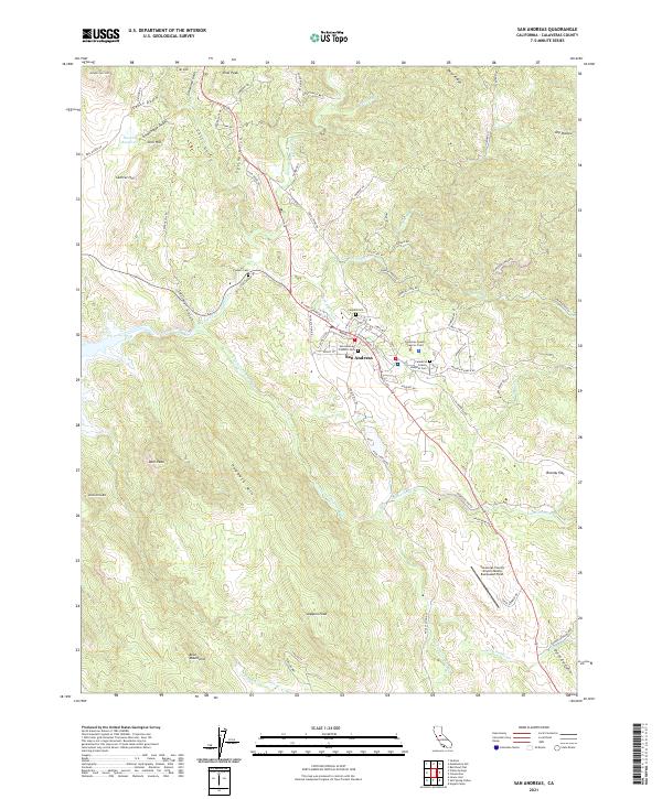
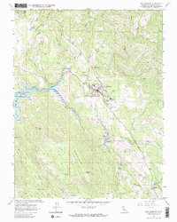
2021 Map of San Andreas
USGS Topo · Published 2021About this map
The town of San Andreas sits at the heart of this Gold Country landscape, serving as a focal point for Calaveras County administration and history. The mapping reveals a high density of early burial sites, including the Pioneer Cem, Peoples Cem, San Andreas Catholic Cem, and the Hospital Cem, which reflect the settlement's long-standing community roots. To the west, the village of Central Hill rests near the Gourley Reservoir, while the surrounding terrain is defined by steep ridges and narrow drainage gulches like Chili Gulch and Old Woman Gulch.
Find a feature on this map
81 named features on this map. Tap any name to fly to it.
Don’t see what you’re looking for? This feature index may not catch every label — zoom into the map to look around manually.
Map Details
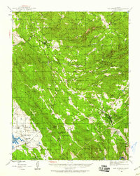
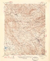
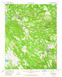
Editions of this 2021 San Andreas Map
This is the sole edition of this map. No revisions or reprints were ever made.
Historical Maps of Mountain Ranch Subdivision Through Time
6 maps found
Featured Locations
- Fourth Crossing, CA
- Mountain Ranch Subdivision, CA
- Oak Park Estates, CA
- Toyanza Subdivision, CA
- San Andreas, CA