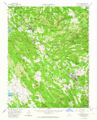
1962 Map of San Andreas
USGS Topo · Published 1964About this map
Angels Camp and the county seat at San Andreas serve as the primary hubs in this mid-century portrait of Calaveras County. The landscape is defined by its deep mining heritage, with dozens of active and historical sites such as the Cave City Mine, Gold Cliff Mine, and Cassinelli Mine dotting the drainages of the Calaveras River and Angels Creek. The era's infrastructure is visible in the presence of the Southern Pacific railroad and the County Airport south of San Andreas.
Find a feature on this map
118 named features on this map. Tap any name to fly to it.
Don’t see what you’re looking for? This feature index may not catch every label — zoom into the map to look around manually.
Map Details
Editions of this 1962 San Andreas Map
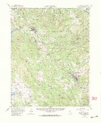
2 editions found
Other maps of this area

1889 · Jackson
USGS Topo · 1:125,000

1891 · Big Trees
USGS Topo · 1:125,000

1892 · Jackson
USGS Topo · 1:125,000

1893 · Sonora
USGS Topo · 1:125,000

1894 · Big Trees
USGS Topo · 1:125,000

1896 · Sonora
USGS Topo · 1:125,000

1897 · Jackson
USGS Topo · 1:125,000

1897 · Sonora
USGS Topo · 1:125,000

1897 · Big Trees
USGS Topo · 1:125,000

1898 · Sonora
USGS Topo · 1:125,000