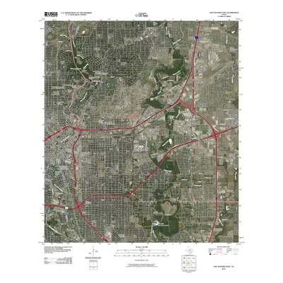
2010 Map of San Antonio East
USGS Topo · Published 2010About this map
The San Antonio River and Salado Creek anchor this 2010 survey of the city's eastern expansion and established historic cores. The map documents significant cultural and military footprints, ranging from the Alamodome and the Southern Pacific Depot Historic District near the city center to Martindale Army Air Field on the eastern edge. Urban development is contrasted by large preserved spaces like the Willow Springs Golf Course and numerous historic zones such as the King William Historic District and La Villita Historic District.
Find a feature on this map
66 named features on this map. Tap any name to fly to it.
Don’t see what you’re looking for? This feature index may not catch every label — zoom into the map to look around manually.
Map Details
Editions of this 2010 San Antonio East Map
This is the sole edition of this map. No revisions or reprints were ever made.
Other maps of this area

1953 · Schertz
USGS Topo · 1:24,000

1953 · San Antonio West
USGS Topo · 1:24,000

1953 · San Antonio East
USGS Topo · 1:24,000

1953 · Terrell Wells
USGS Topo · 1:24,000

1953 · Longhorn
USGS Topo · 1:24,000

1953 · Elmendorf
USGS Topo · 1:24,000

1953 · Southton
USGS Topo · 1:24,000

1953 · Castle Hills
USGS Topo · 1:24,000

1953 · Martinez
USGS Topo · 1:24,000

1954 · San Antonio
USGS Topo · 1:250,000