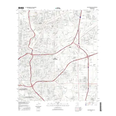
2016 Map of San Antonio East
USGS Topo · Published 2016About this map
The San Antonio Missions National Historical Park anchors the southern landscape of this 2016 survey, tracing the path of the San Antonio River as it flows through the heart of the city. To the north, the affluent residential enclaves of Alamo Heights, Terrell Hills, and Olmos Park surround the historic Olmos Dam and the groundwater source at San Antonio Springs. This map illustrates the complex intersection of institutional and natural history, where the campuses of Trinity Univ and the Univ of the Incarnate Word sit near the headwaters of the river. The eastern corridor is defined by major transit arteries like the I-10 Access Rd and I-35 Access Rd, linking the city center to industrial hubs at Salado Junction and the suburban growth of Kirby and Windcrest.
Find a feature on this map
24 named features on this map. Tap any name to fly to it.
Don’t see what you’re looking for? This feature index may not catch every label — zoom into the map to look around manually.
Map Details
Editions of this 2016 San Antonio East Map
This is the sole edition of this map. No revisions or reprints were ever made.
Other maps of this area

1953 · Schertz
USGS Topo · 1:24,000

1953 · San Antonio West
USGS Topo · 1:24,000

1953 · San Antonio East
USGS Topo · 1:24,000

1953 · Terrell Wells
USGS Topo · 1:24,000

1953 · Longhorn
USGS Topo · 1:24,000

1953 · Elmendorf
USGS Topo · 1:24,000

1953 · Southton
USGS Topo · 1:24,000

1953 · Castle Hills
USGS Topo · 1:24,000

1953 · Martinez
USGS Topo · 1:24,000

1954 · San Antonio
USGS Topo · 1:250,000