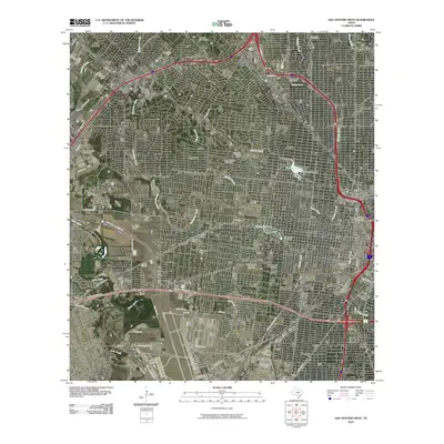
2010 Map of San Antonio West
USGS Topo · Published 2010About this map
Saint Marys University and the dense neighborhoods of western San Antonio define this urban landscape at the start of the decade. The map reveals a complex hydrologic network where Zarzamora Creek, Apache Creek, and Alazan Creek converge toward the city center, interspersed with civic landmarks like the Woodlawn Lake Dam and Elmendorf Lake Dam. To the northwest, Leon Valley and Balcones Heights show the suburban expansion reaching toward the Oak Hills Golf Course.
Find a feature on this map
56 named features on this map. Tap any name to fly to it.
Don’t see what you’re looking for? This feature index may not catch every label — zoom into the map to look around manually.
Map Details
Editions of this 2010 San Antonio West Map
This is the sole edition of this map. No revisions or reprints were ever made.
Other maps of this area

1953 · Culebra Hill
USGS Topo · 1:24,000

1953 · San Antonio West
USGS Topo · 1:24,000

1953 · San Antonio East
USGS Topo · 1:24,000

1953 · Terrell Wells
USGS Topo · 1:24,000

1953 · Longhorn
USGS Topo · 1:24,000

1953 · Macdona
USGS Topo · 1:24,000

1953 · Southton
USGS Topo · 1:24,000

1953 · Helotes
USGS Topo · 1:24,000

1953 · Castle Hills
USGS Topo · 1:24,000

1954 · San Antonio
USGS Topo · 1:250,000