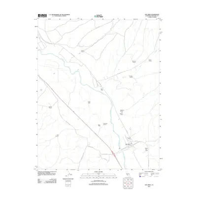
2012 Map of San Ardo
USGS Topo · Published 2012About this map
San Ardo serves as the focal point for this section of Monterey County, situated along the Salinas River corridor. The 2012 landscape is defined by the industrial presence of the San Ardo Field at the southern edge of town and a network of agricultural valleys including Paris Valley, Pine Valley, and Pancho Rico Valley. Transportation is dominated by Us-101 S, which follows the river valley, while rural routes like Cattlemen Rd and Paris Valley Rd connect the surrounding hills. This survey documents the complex topography of the Salinas Valley foothills, where numerous named drainages such as Garrissere Canyon, Jim Lawson Gulch, and Casey Gulch carve into the terrain. The map captures the intersection of energy production and traditional ranching geography in a transition zone of the California Central Coast.
Find a feature on this map
26 named features on this map. Tap any name to fly to it.
Don’t see what you’re looking for? This feature index may not catch every label — zoom into the map to look around manually.
Map Details
Editions of this 2012 San Ardo Map
This is the sole edition of this map. No revisions or reprints were ever made.
Other maps of this area

1912 · San Ardo
USGS Topo · 1:31,680

1915 · Priest Valley
USGS Topo · 1:125,000

1919 · King City
USGS Topo · 1:62,500

1919 · Bryson
USGS Topo · 1:62,500

1919 · Bradley
USGS Topo · 1:62,500

1939 · King City
USGS Topo · 1:62,500

1941 · San Ardo
USGS Topo · 1:62,500

1941 · Bradley
USGS Topo · 1:62,500

1941 · Bryson
USGS Topo · 1:62,500

1942 · Bryson
USGS Topo · 1:62,500