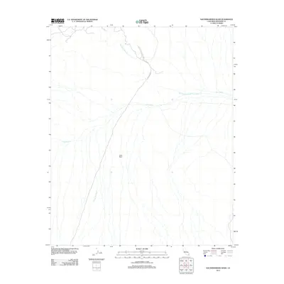
2012 Map of San Bernardino Wash
USGS Topo · Published 2012About this map
Joshua Tree National Park encompasses much of this desert landscape, where the shifting sands and seasonal hydrology of the Pinto Basin dictate the terrain. The map traces the complex braided drainage systems that characterize this arid region, most notably the prominent San Bernardino Wash and the extensive Pinto Wash. These seasonal watercourses are vital features of the Colorado Desert ecosystem within the park's eastern reaches.
Find a feature on this map
7 named features on this map. Tap any name to fly to it.
Don’t see what you’re looking for? This feature index may not catch every label — zoom into the map to look around manually.
Map Details
Editions of this 2012 San Bernardino Wash Map
This is the sole edition of this map. No revisions or reprints were ever made.
Other maps of this area

1942 · Amboy
USGS Topo · 1:250,000

1943 · Amboy
USGS Topo · 1:250,000

1943 · Pinkham Well
USGS Topo · 1:62,500

1944 · Pinkham Well
USGS Topo · 1:62,500

1944 · Eagle Tank
USGS Topo · 1:62,500

1954 · Salton Sea
USGS Topo · 1:250,000

1954 · Needles
USGS Topo · 1:250,000

1955 · Salton Sea
USGS Topo · 1:250,000

1956 · Needles
USGS Topo · 1:250,000

1956 · Dale Lake
USGS Topo · 1:62,500