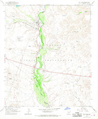
1966 Map of San Carlos
USGS Topo · Published 1968About this map
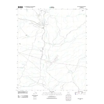
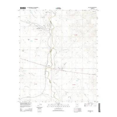
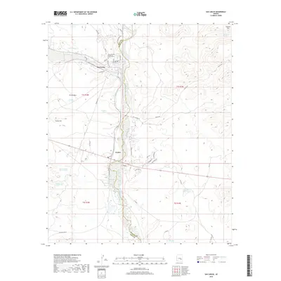
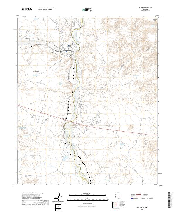
The San Carlos River valley serves as the central corridor for this mid-1960s survey of the San Carlos Indian Reservation. The community of San Carlos is shown as a developed hub featuring an Indian Agency, School, Church, and Cem, alongside utility infrastructure like a Substation and Sewage Disposal plant. Downriver, the settlement of Peridot is situated near the foot of Peridot Mesa, a prominent volcanic landform rising above the surrounding desert flats. Transportation and commerce are defined by the Southern Pacific railroad line and state highways that parallel the watercourse. This era of the reservation is marked by a blend of traditional land use and mid-century federal administration, visible in the proximity of the Rodeo Grounds and Gaging Station to numerous water management features like the Hollywood Bowl Tank and Peridot Well.
Find a feature on this map
44 named features on this map. Tap any name to fly to it.
Don’t see what you’re looking for? This feature index may not catch every label — zoom into the map to look around manually.
Map Details
Editions of this 1966 San Carlos Map
2 editions found
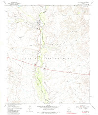
Historical Maps of San Carlos Through Time
5 maps found